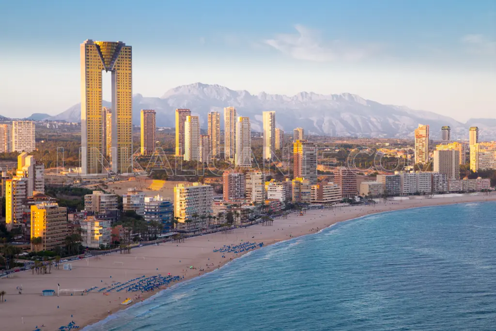
The “short version” of the route ends at this point. But I propose an alternative: keep walking and walk along the Poniente Beach in Benidorm, and then go up to the Benidorm TRAM station. From there, we take the streetcar and return to La Vila, getting off at Creueta station.
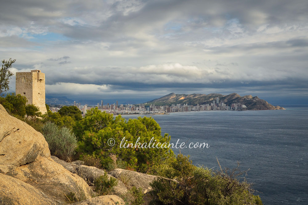
If you are still strong enough, another interesting option to extend the route is to climb up to the Tossal de la Cala, an archaeological site and fantastic viewpoint overlooking the beaches of Benidorm.
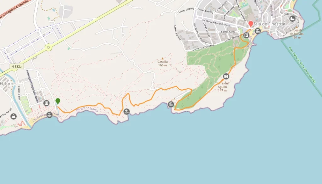
If you opt for this alternative extended route, I recommend starting the route in the port of La Vila (I leave the track below).
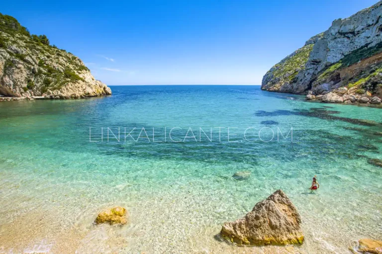
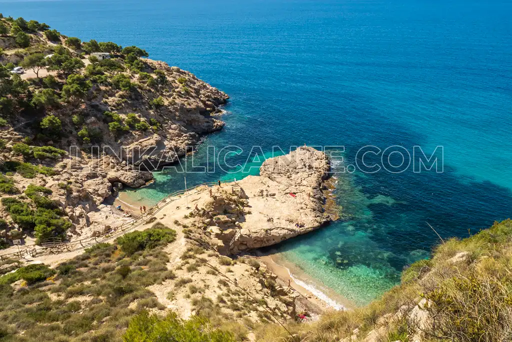
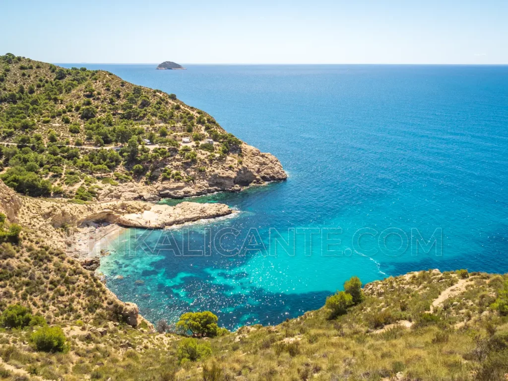
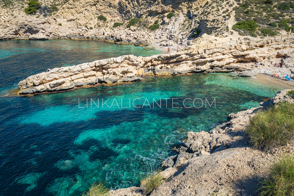
The 10 Best Coves in Alicante + Map
Discover the 10 Best Coves of Alicante and its location map in this tour from north to south along the coast of the Costa Blanca.
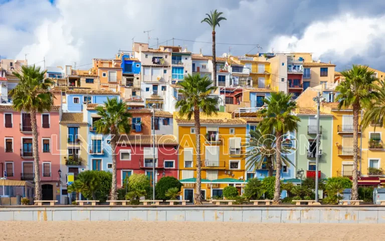
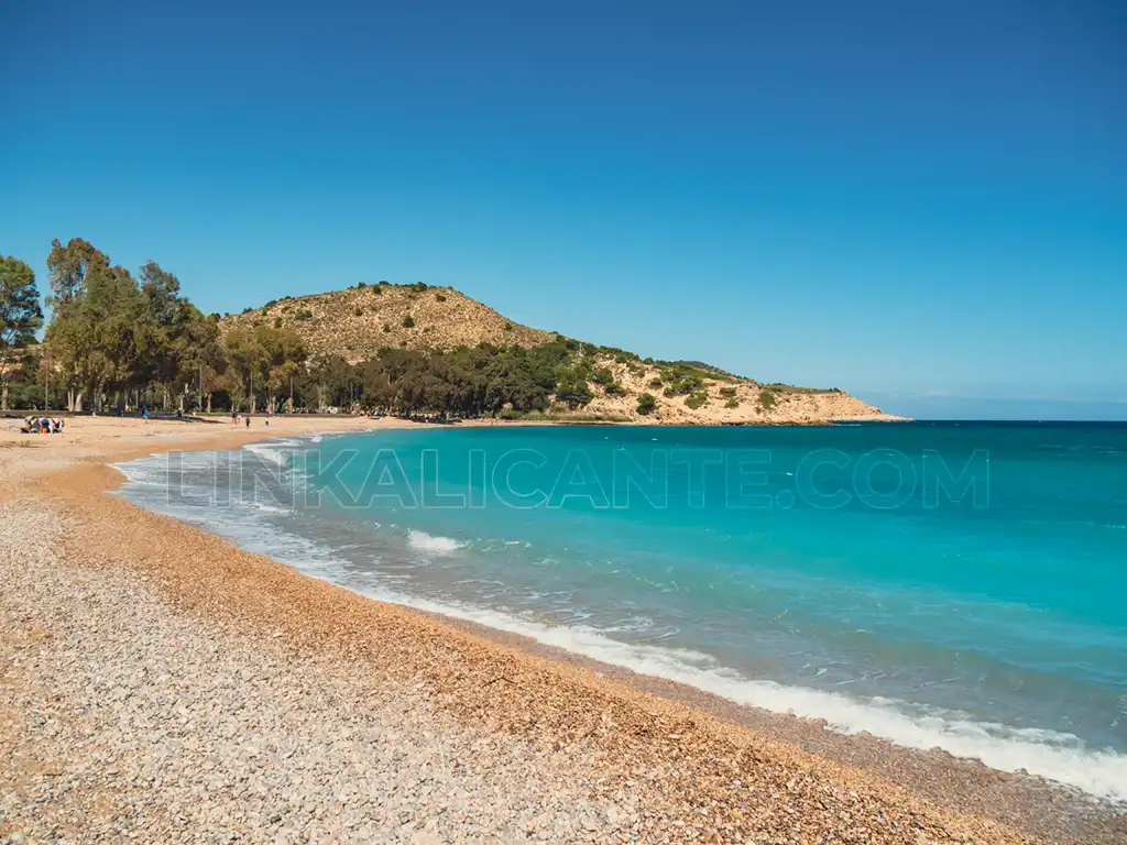
Discover Villajoyosa: a journey of flavor, history and natural beauty.
Come and discover Villajoyosa, jewel of the Costa Blanca, and let yourself be seduced by its coves, its history, its gastronomy and its vibrant local festivals.