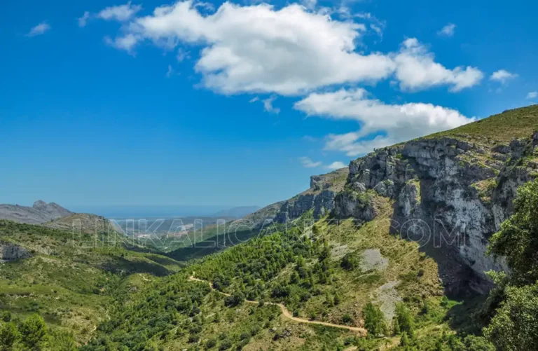
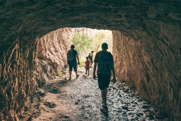
Route of the Pas del Badall and Les Fonts de Benigembla, PR-CV 465
The PR-CV 465 trail is one of the most spectacular routes in Alicante, a route that will test your mountaineering skills.
The PR-CV 465 trail is one of the most spectacular routes in Alicante, a route that will test your mountaineering skills.
Discover the route of the Relleu Reservoir (Alicante) and its dizzying 370-meter wooden footbridge suspended over the Amadorio River.
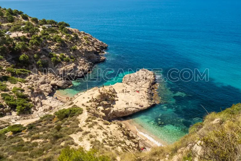
Discover this coastal route with great environmental and cultural values through one of the few virgin stretches of the Costa Blanca in Alicante.

The Blue Trail of the bay of Altea is a simple route with great environmental, cultural and scenic values that runs along the shores of the Mediterranean.
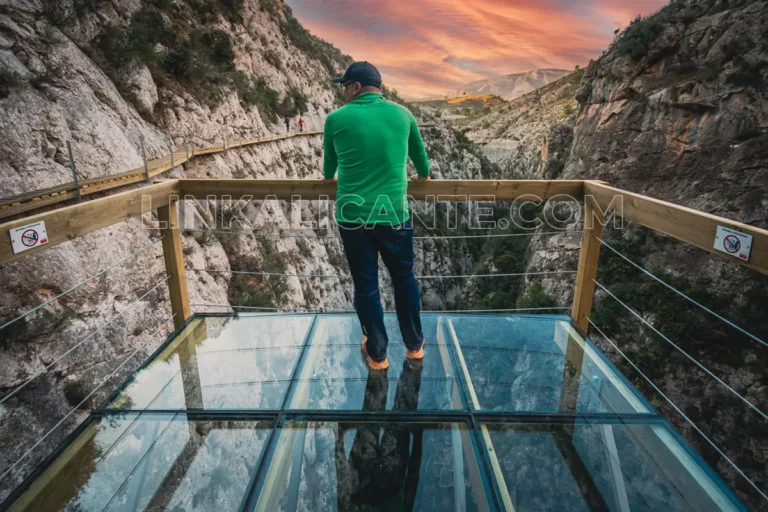
Round trip route to El Forat de Bèrnia, a magical place in one of the most emblematic mountain ranges in the province of Alicante. Medium difficulty.
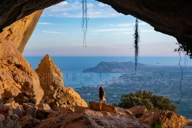
Discover the hiking route up to the Cruz de la Muela, a cultural reference of the city of Orihuela and the Vega Baja del Segura.
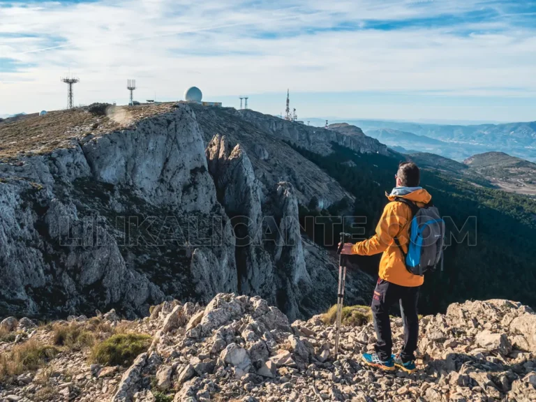
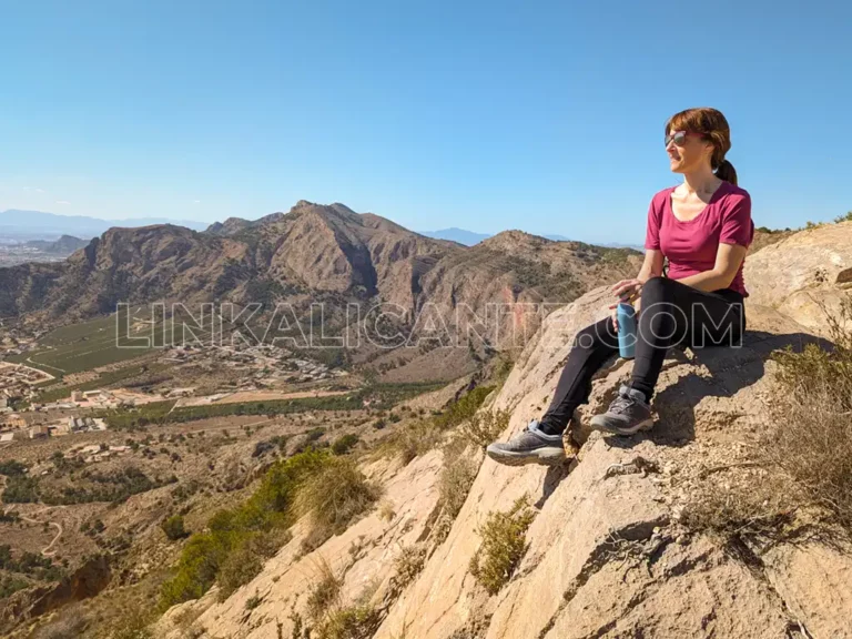
Circular route up to the summit of the Sierra de Aitana, roof of Alicante, by the Passet de la Rabosa and return by forest track.
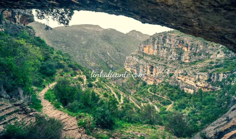
Hiking route of the Barranc de l’Infern (La Vall de Laguar, Alicante), known as the Cathedral of Hiking for its 6,800 stone steps.
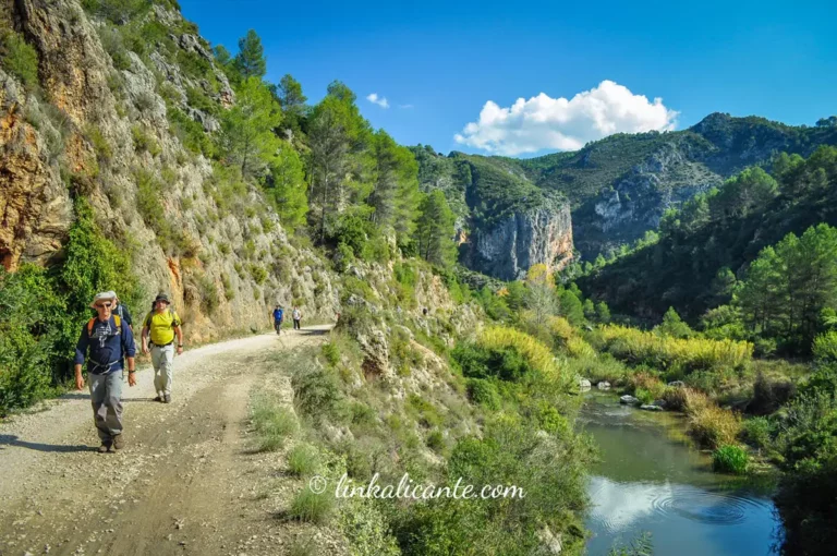
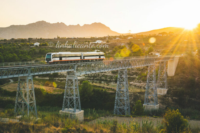
Beautiful route on the old railway line that crossed the known as “Barranc de l’Infern”, following the course of the river Serpis”.
Selection of 12 Simple and Beautiful routes in Alicante. Ideal for families and seniors, hiking for all ages on the Costa Blanca.
We propose a selection of hiking routes that you can access using public transport from Alicante.
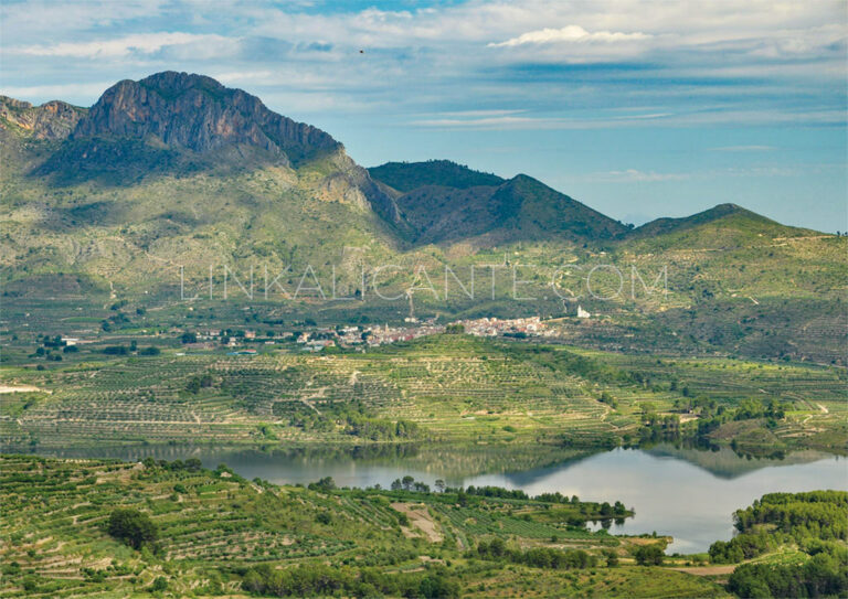
The Sierra del Benicadell constitutes the natural border between the counties of El Comtat (Alicante) and the Vall d’Albaida (Valencia), therefore also forming the border between these two provinces of the Valencian Community. This mountainous formation is one of the most aesthetic and beautiful in Dianic geography, as it presents a characteristic and stylized double