Albir Lighthouse hike, an easy walk with beautiful views in Serra Gelada
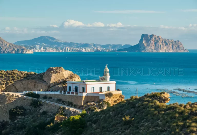
Excursion to the Lighthouse of l’Albir, in the Serra Gelada Natural Park, with beautiful views of the Bay of Altea and the Serra de Bèrnia.
Excursion to the Lighthouse of l’Albir, in the Serra Gelada Natural Park, with beautiful views of the Bay of Altea and the Serra de Bèrnia.
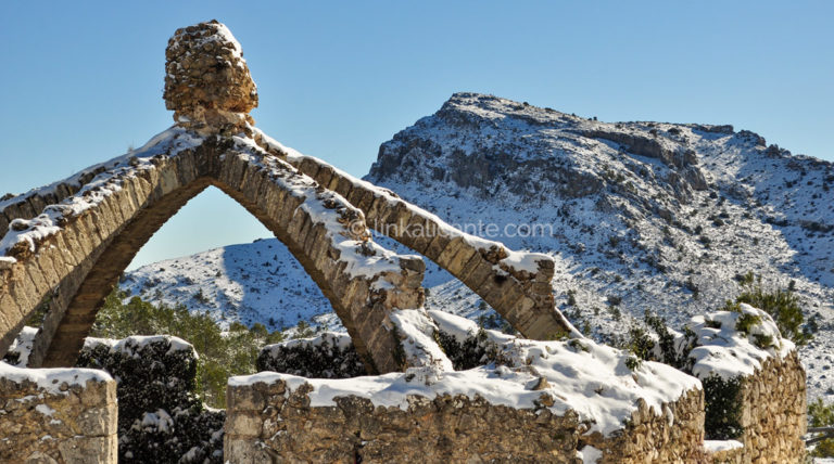
In this article, I will tell you about the route up the Montcabrer peak (1,390 m.) from the Mare de Déu de Agres Sanctuary . Montcabrer is the highest point in the Serra de Mariola , a forest area that has been protected as a Natural Park since 2002. This is an excursion of easy-medium
Between the towns of Dènia and Xàbia , El Montgó is one of the most emblematic mountains of the Valencian Community. Despite its “modest” height, 752 meters above sea level, it is a calcareous massif of great environmental, cultural and landscape relevance. Both the Montgó and its extension towards the sea, the Cap de Sant
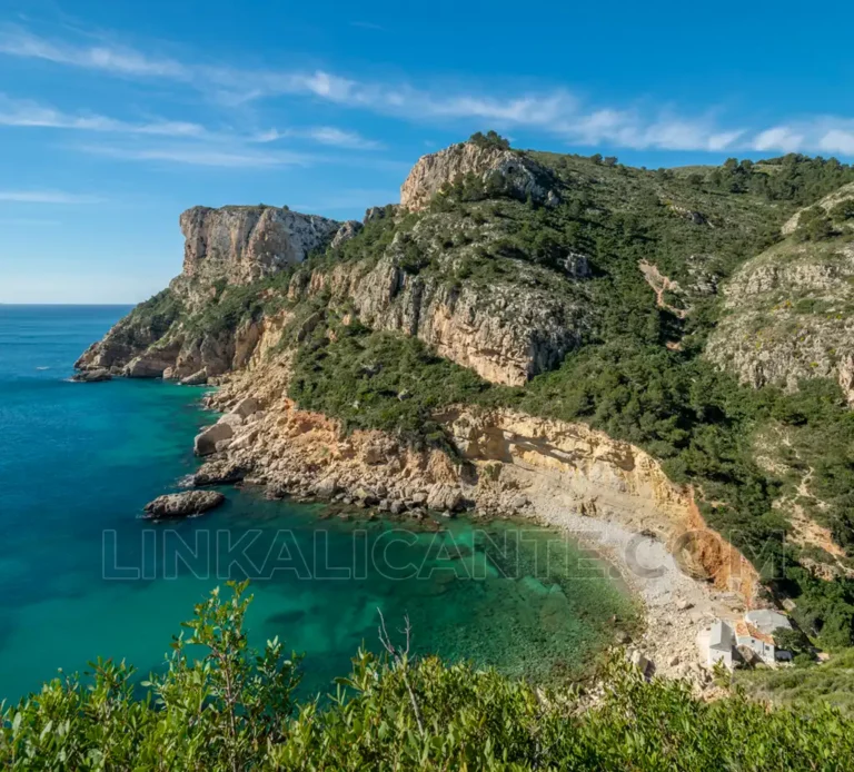
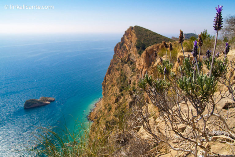
The Route of the Cliffs or Penya-Segats is a surprising path at the foot of the impressive rocky walls that shape the coastline of El Poble Nou de Benitatxell , in the Marina Alta region of Alicante. This simple round-trip hiking route leads us from the touristy and well-known Moraig Cove -in high season, with
The Sierra de la Serrella , popularly known as “the Alicante Pyrenees”, is one of the most indomitable and spectacular mountain formations in Alicante’s geography. La Serrella is a mountain range that extends for more than 13 kilometres, with an east-west orientation and an arc shape, housing a rich and varied natural and cultural heritage.
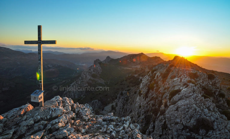
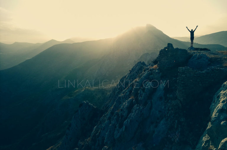
Crossing the Serra Gelada from end to end on the edge of towering cliffs is as spectacular as it is physically challenging.
Discover the main mountains of Alicante: the highest, the most emblematic and the best for hiking.