route summary
From the town of Gaianes , we climb Benicadell on its south face. Once we reach the ridge of the mountain range, we continue along it towards the top, walking at times already on the northern slope of the mountain. Before reaching the summit we visit the snow well or Cava del Benicadell .
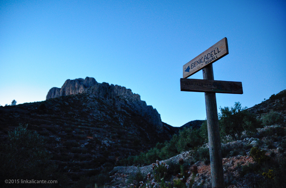
For the return, we propose two options: return along the same path or go down ” El Regall “, a pronounced channel located between the double ridge, in the direction of Beniarrés. We recommend the first option (linear route) since the Regall has a steep slope and highly eroded terrain.
Description of the Route and Photographs
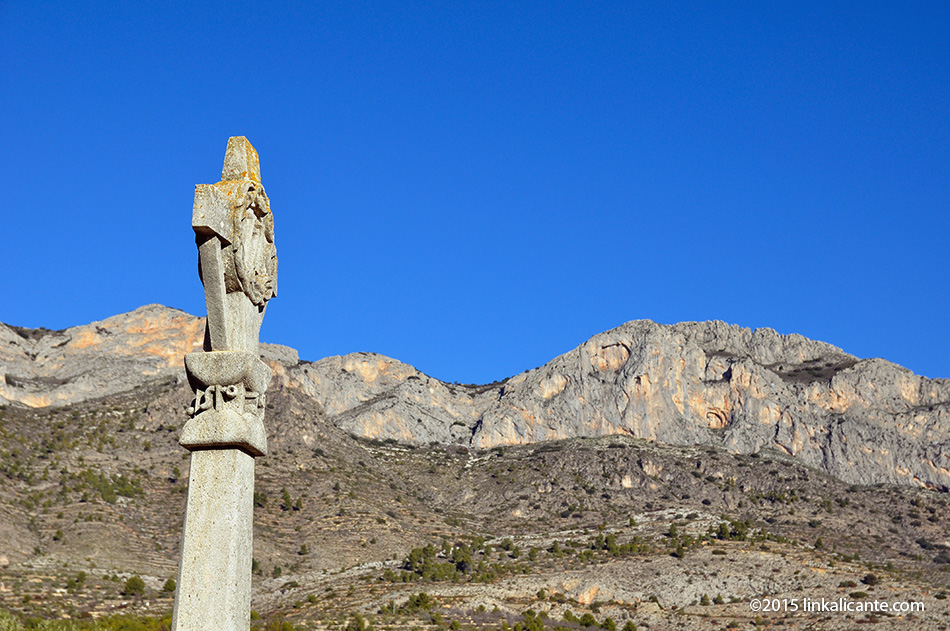
We begin the route at the Crucero de Gaianes, in the upper part of the town. Here we find a small park with a fountain and the information panel for the PR-CV 184 trail (currently discontinued).
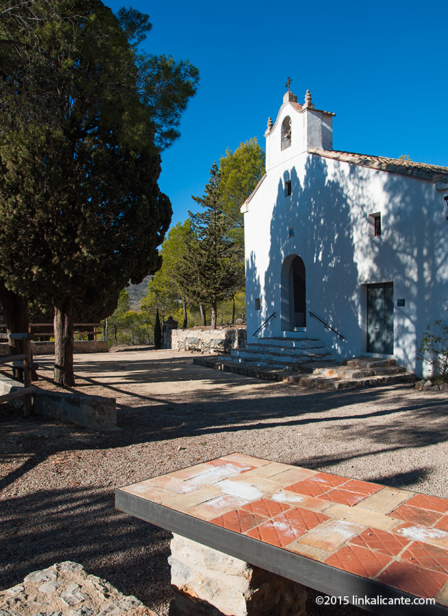
From the Crucero we take the paved road that leaves the town towards Benicadell and which, through a viacrucis, leads us to the Hermitage of Sant Francesc . The hermitage is located in a pleasant corner with a fountain, shade and tables.
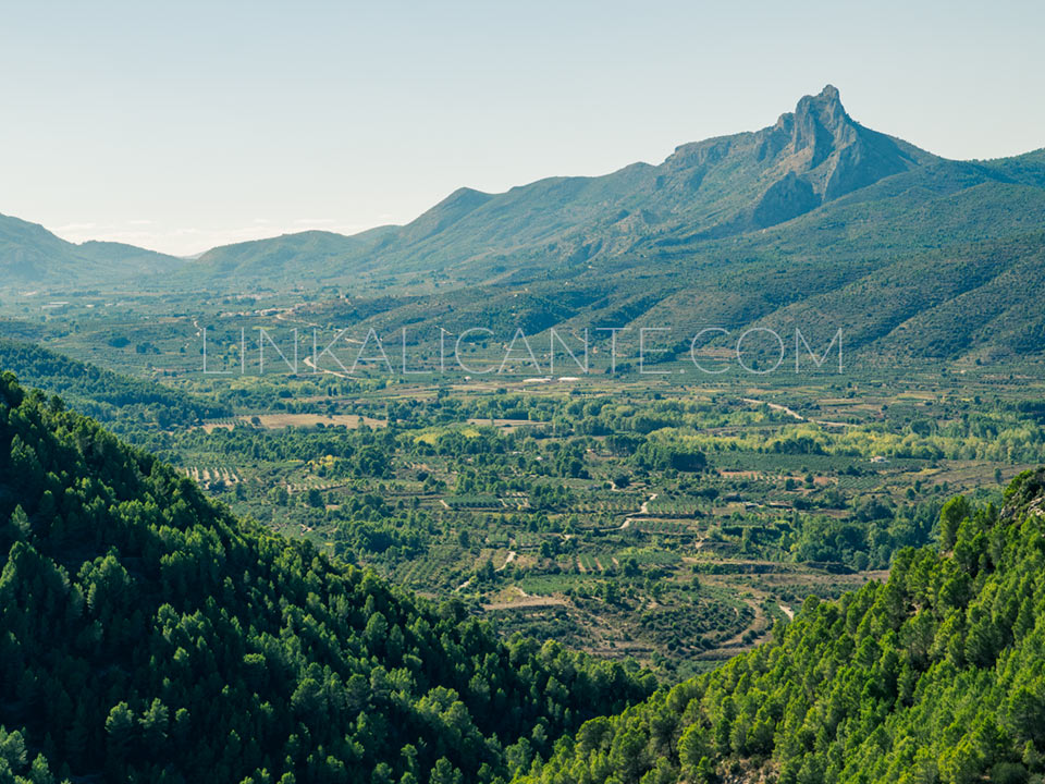
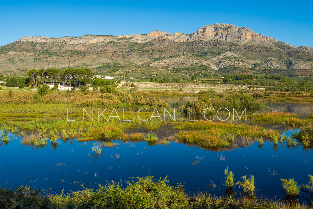
From the hermitage, we continue along a dirt track that brings us closer to the mountain. The view of Benicadell from down here, with its huge limestone walls, is impressive to say the least. Hard to believe that in a short time , step by step, we will be at the top.
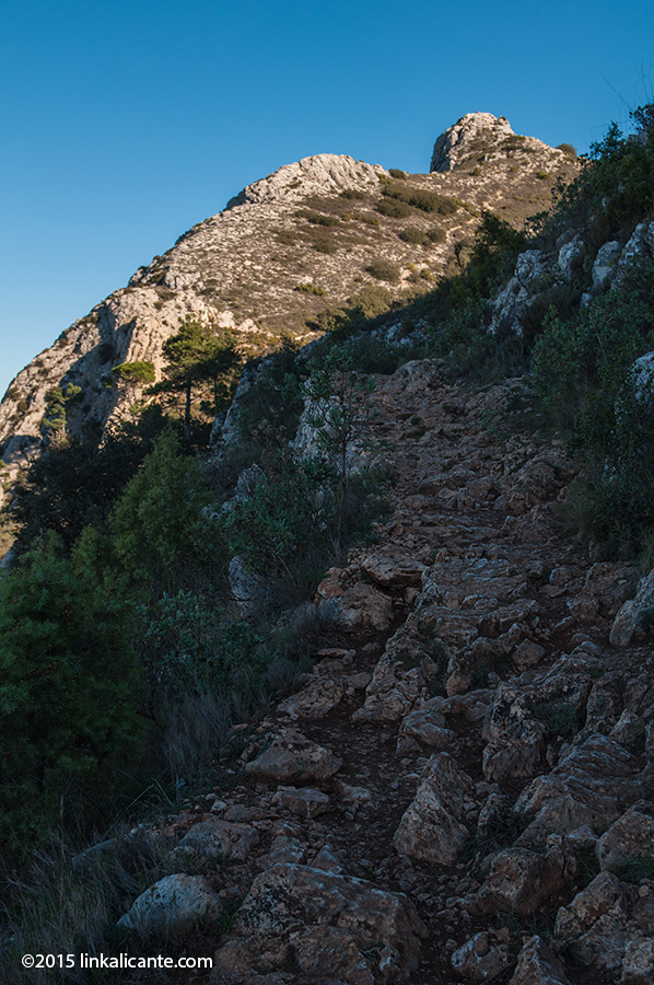
A little further up, we leave the track to continue along a path that winds its way up between old farming terraces. The path gains verticality little by little, and we will have to overcome several rocky steps by means of small climbs, all of them very simple.
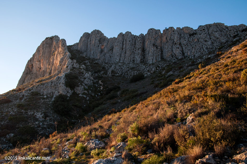
We pass near the Coveta Llarga, and we face the last stretch of ascent before reaching the crest. This part is one of the most beautiful, as we can appreciate the large walls from the side.
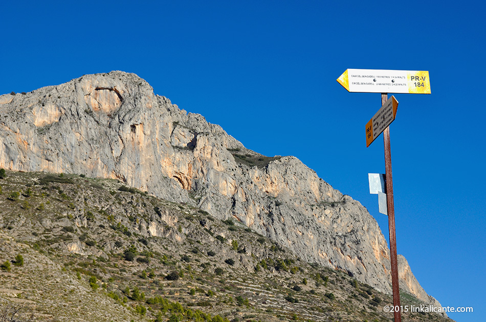
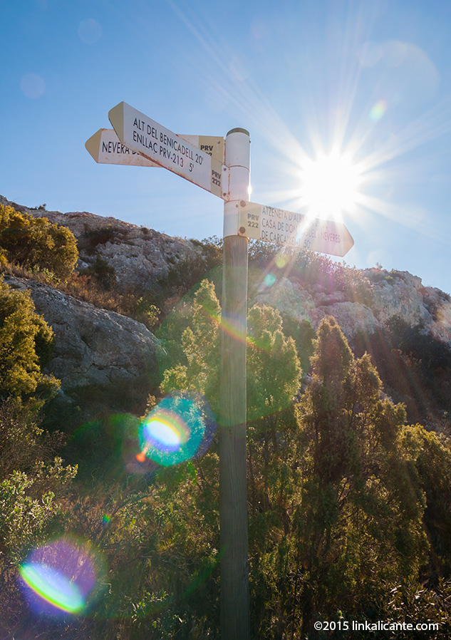
Once on the crest, we find an indicator panel with information on the PR-CV 184, PR-CV 213 and PR-CV 222 trails, which share a route in this part of Benicadell. From this point we can already enjoy impressive views towards the province of Valencia and beyond…
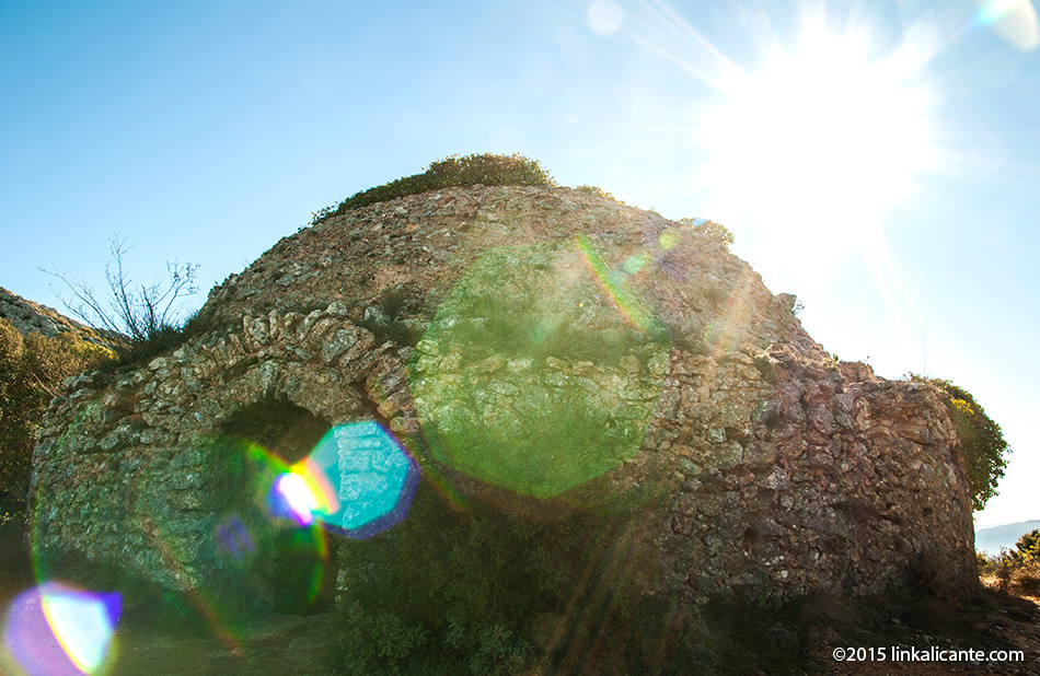
Shortly after we find a detour, signposted with panels, which leads us to the Cava del Benicadell (an old snow well). We made a detour to visit it.
The ice box is large, and its state of conservation is quite good. It is located on a small landing facing north, a fantastic place to rest and enjoy the views.
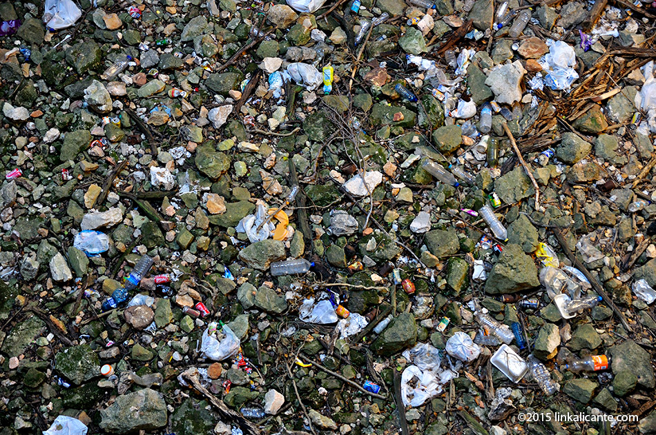
When I look inside the snowfield (note! there is no protection) the view is quite unpleasant. Words are unnecessary. It would be nice if the municipalities involved organized a cleanup. And it would be nice if people didn’t take it for a giant trash can. It is not.
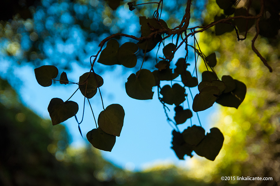
Luckily looking up the view is more beautiful. Magical places these snow wells.
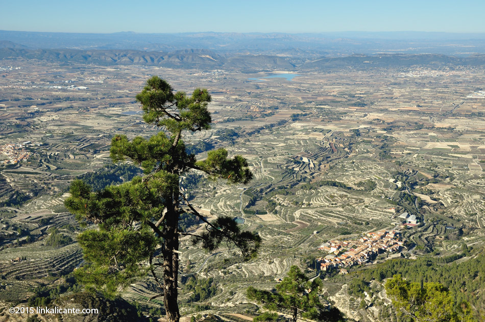
We continue towards the summit of Benicadell, now perfectly visible. At this point we walk along the northern slope of the mountain range, very different from the southern face in terms of vegetation and terrain. Despite the fires.
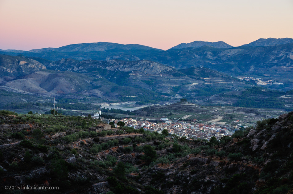
Some specimens of solitary pines in this area are striking. Down there, the population of Beniatjar rests peacefully at the feet of the giant.
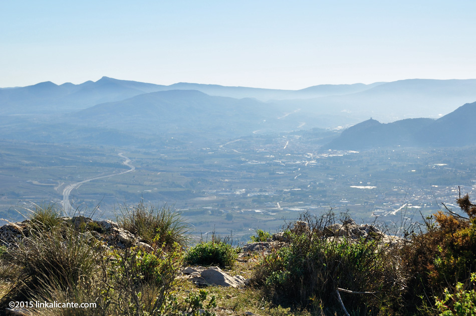
We face a fairly steep climb with the momentum of someone who feels almost at the top. We arrive at a landing that offers us incredible views of the Alcoi area. It is a good place to rest if the day is windy, next to the water well? protected with bars. Here begins the short stretch of cresting, which reminds me of Bernia , although shorter and simpler.
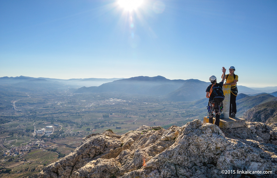
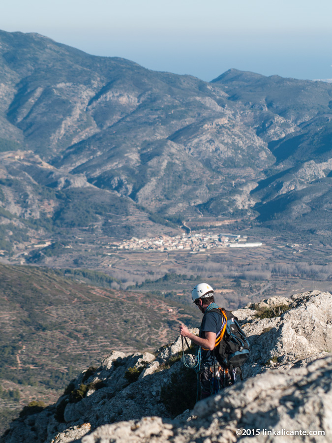
Summit!! I agree at the top with some mountaineers who have climbed the ridge.
At the top I take it very calmly, it’s time to enjoy and take advantage of the telephoto lens, that’s why I’ve carried it up here!
Bottom photo: one of the climbers in the last meters of the ridge. In the background Lorcha, at the foot of the Sierra de la Safor .
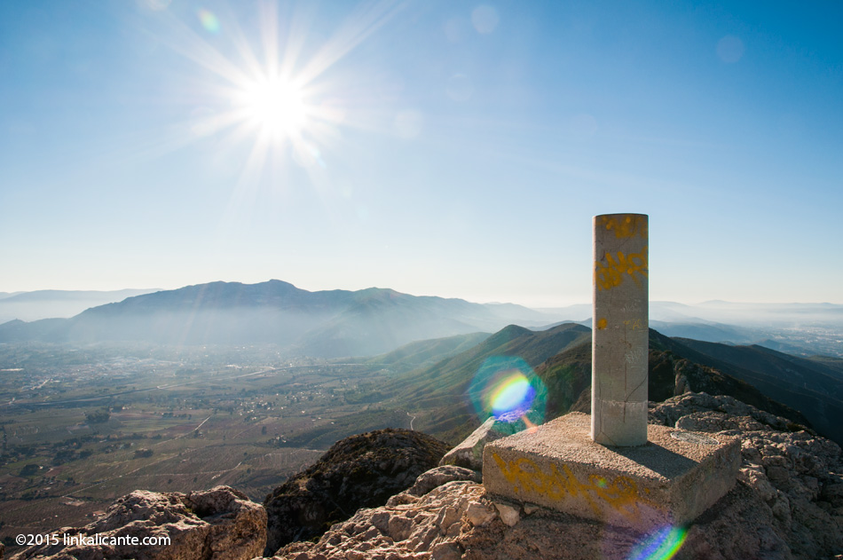
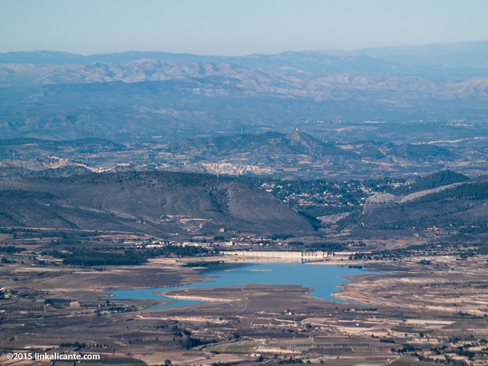
Bottom photo: the Bellús reservoir. Further on, behind the Serra Grossa, you can see part of Xàtiva and its castle. And many more things that unfortunately I am not able to identify.
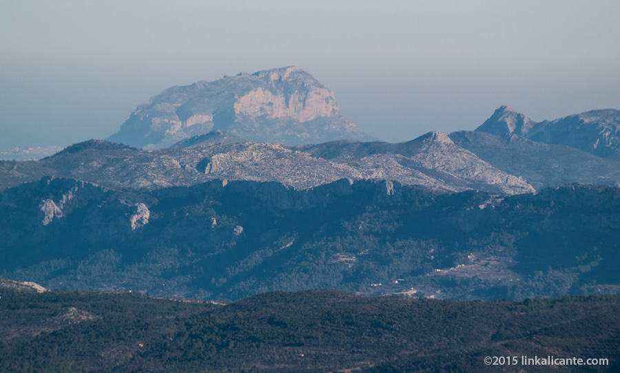
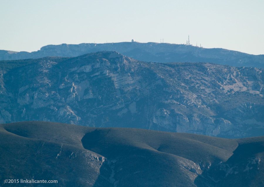
One of the most surprising views of the day was that of Penyagolosa (1,813 m), in the province of Castellón, as I told you a few days ago in the post ” Penyagolosa from Benicadell “.
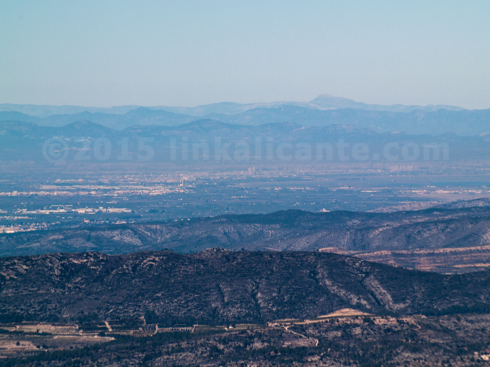
Looking back to the east, Montgó appears, partially blurred by the coastal mist. The profile of the Serra Foradà is also recognizable, in Vall de Gallinera. To the right of the Montgó stands out a pronounced peak that could be the Serra del Migdia, although I would not dare to say for sure.
Bottom photo: the Almudaina, Serrella and Aitana mountains.
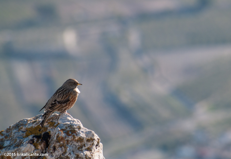
Lower photo: some specimens of the Alpine Accentor fluttered around the top, in search of food leftovers from the hikers.
Finally, I decide to start the way back. As I did in 2006, I choose to go down the channel, taking the path that begins next to the well (the water well) at the foot of the summit. It is a very steep descent, where it is really difficult to keep your balance. I do not recommend it for people with little experience. The use of walking sticks is highly recommended.
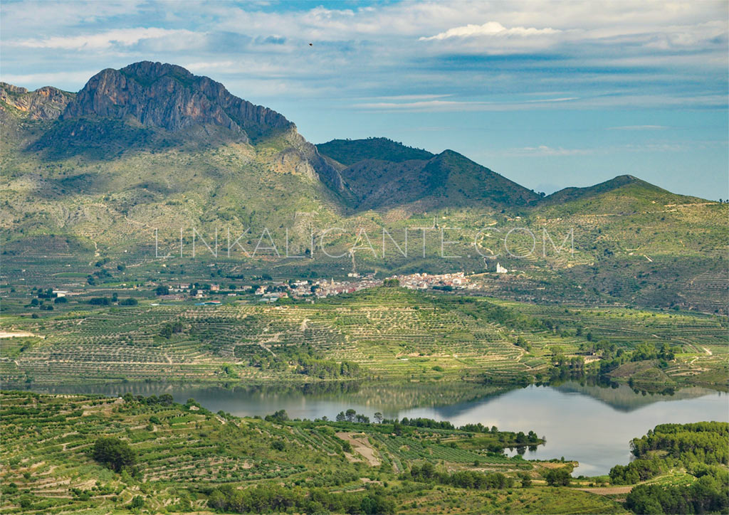
The descent through the canal brings us closer to Beniarrés. The stream flows into a ravine, where a more bearable path leads us to an area of crops. We came out onto a paved road.
Shortly after, at the height of some large antennas, we turn right and enter the terraces. We look for a path that connects with another paved track, which in turn leads to a rural road that is also paved. This path, passing through the Font del Barranc del Port , will take us back to Gaianes without touching the main road. In this last part you can pull track, or smartphone and google maps, as I did.
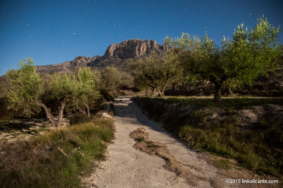
In the last part of the route, along the comfortable rural road, I enjoy a pleasant walk in the light of the Moon, at the feet of the giant. It has been a great day in the mountains. Thank you Benicadel!