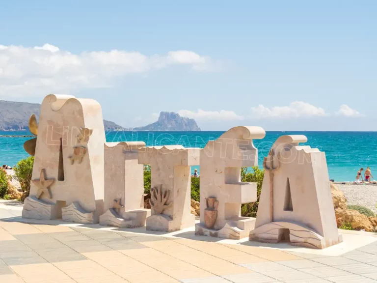
What to see in ALTEA, must-see places and plans
What to see in Altea: beautiful places, beaches, routes, gastronomy and the best plans to enjoy the most beautiful coastal town in Alicante.
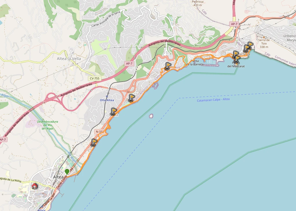
The complete itinerary, round trip, is about 15 kilometers long, being ideal to enjoy it slowly during a day, since it has hardly any slope.
The route is suitable to do with children, always being aware that it is not necessary to do the whole route and that it can be done in parts, so that it is more bearable for the little ones.
The trail officially begins in the Plaza de Europa, in the middle of Altea’s promenade, and ends at the Mascarat viewpoint, overlooking the beautiful Cala del Racó del Corb.
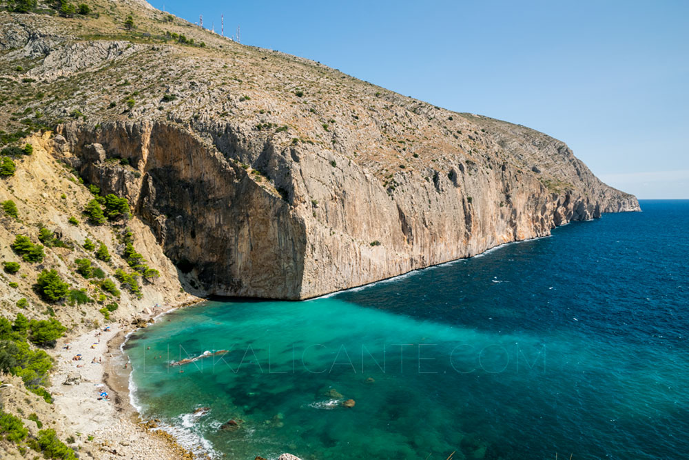
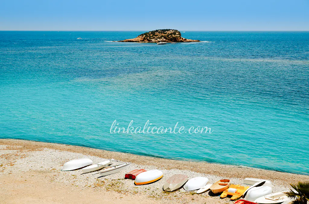
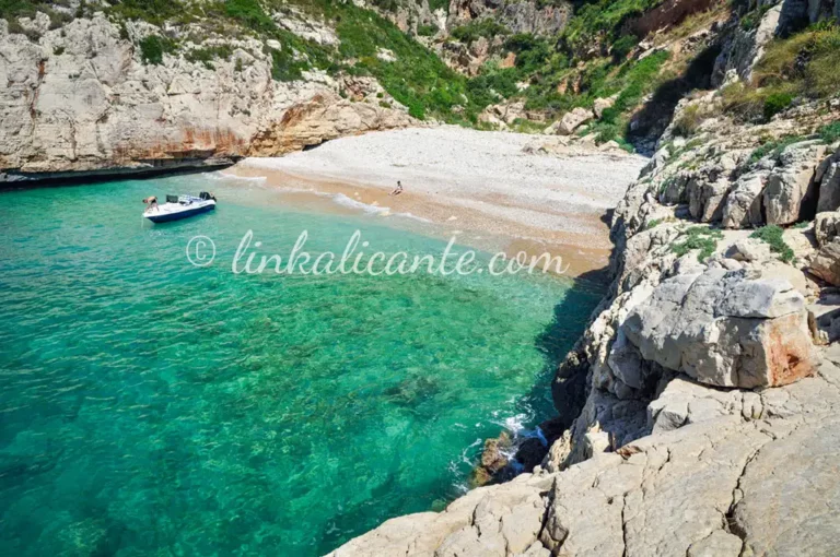
Along the route you can enjoy several beaches and coves, including the canine beach of Altea, near the old carabinieri barracks.
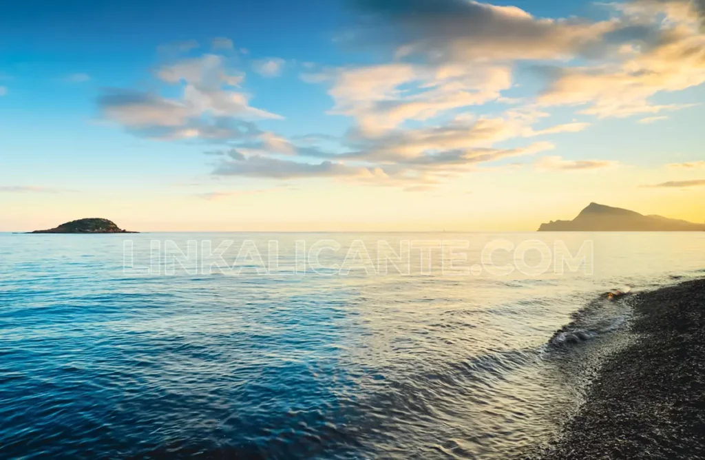
The waters of the Bay of Altea are part of the maritime area of the Serra Gelada Natural ParkThis trail has a great value as a didactic resource, so that we become aware of the high environmental value and the ancient farmland and mountains that surround them, often battered by the ravages of the urban abuses of the peninsular Mediterranean coast.
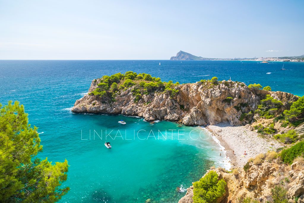
Map: 20 Calas de Alicante that are a must-see in 2024
Discover the 20 most beautiful and natural coves in the province of Alicante in this tour from north to south along the coastline of the Costa Blanca.


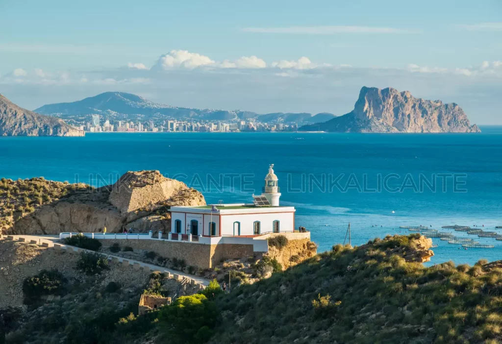
Albir Lighthouse hike, an easy walk with beautiful views in Serra Gelada
Excursion to the Lighthouse of l’Albir, in the Serra Gelada Natural Park, with beautiful views of the Bay of Altea and the Serra de Bèrnia.
What to see in ALTEA, must-see places and plans
What to see in Altea: beautiful places, beaches, routes, gastronomy and the best plans to enjoy the most beautiful coastal town in Alicante.