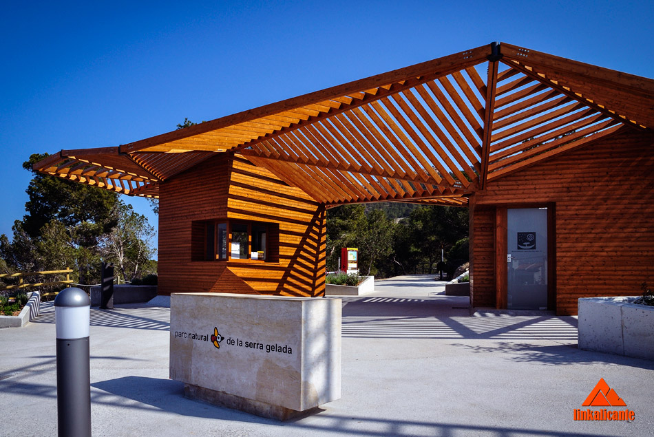
We start the route at the Albir Information Point, very close to the beach with the same name. Right there there is an excellent car park, recently renovated.
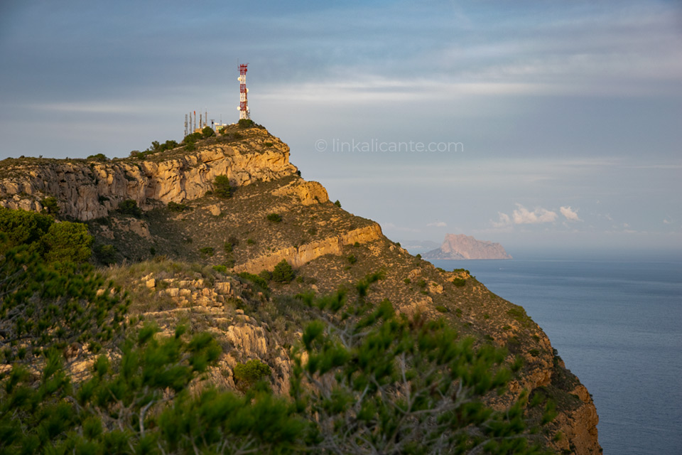
The first section includes the ascent to the antennas, the highest point of the mountain range, the Alt del Governador (it is a Valencian place name, hence it is written with a vee), at 435 meters high. As we gain altitude, the views increase in spectacularity…
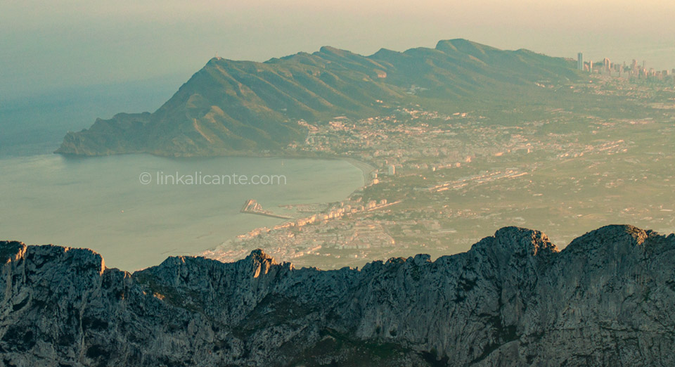
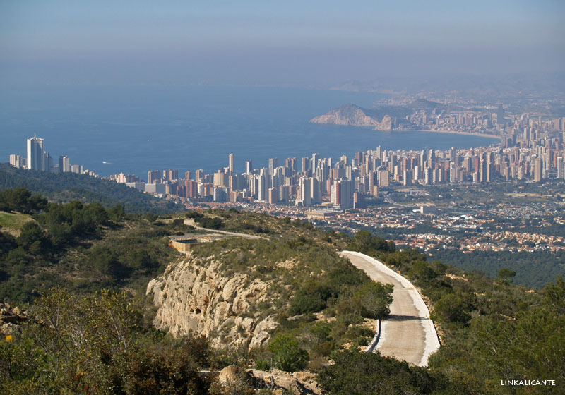
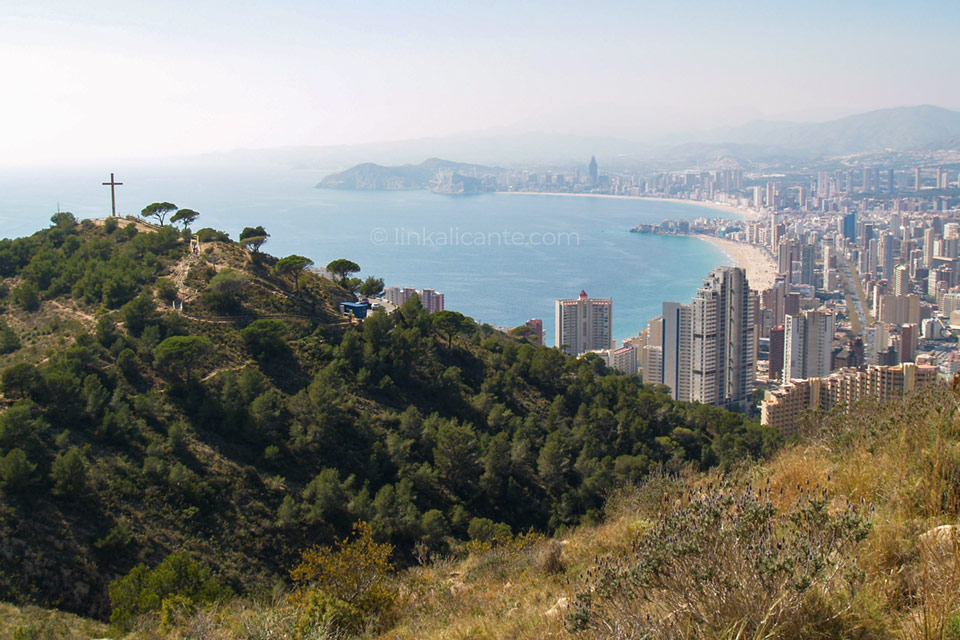
Shortly before reaching the antennas of l’ Alt del Governador , we come out onto a paved track that serves them. From here we already have a wide view to the south, highlighting the city of Benidorm with its sea of skyscrapers. As can be seen in the image, I had a foggy day with poor visibility.
From the paved road, we immediately reach the antennas and the geodesic vertex of the mountain range. If we move a little away from the repeaters, we can enjoy the views…
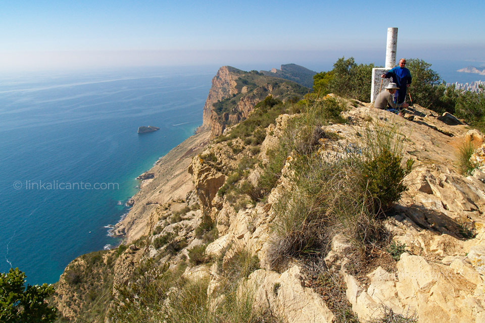
From the antennas, we return to the paved track, which we follow in the direction of the Benidorm Cross . It doesn’t take long for us to leave the asphalt again and take the path that will take us along the entire crest of the mountain range, near the cliffs. It is a fairly demanding route due to the continuous ups and downs. Be careful not to do it in hot weather , because there are not many shadows.
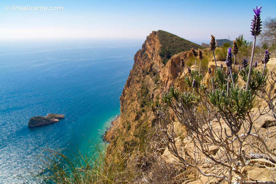
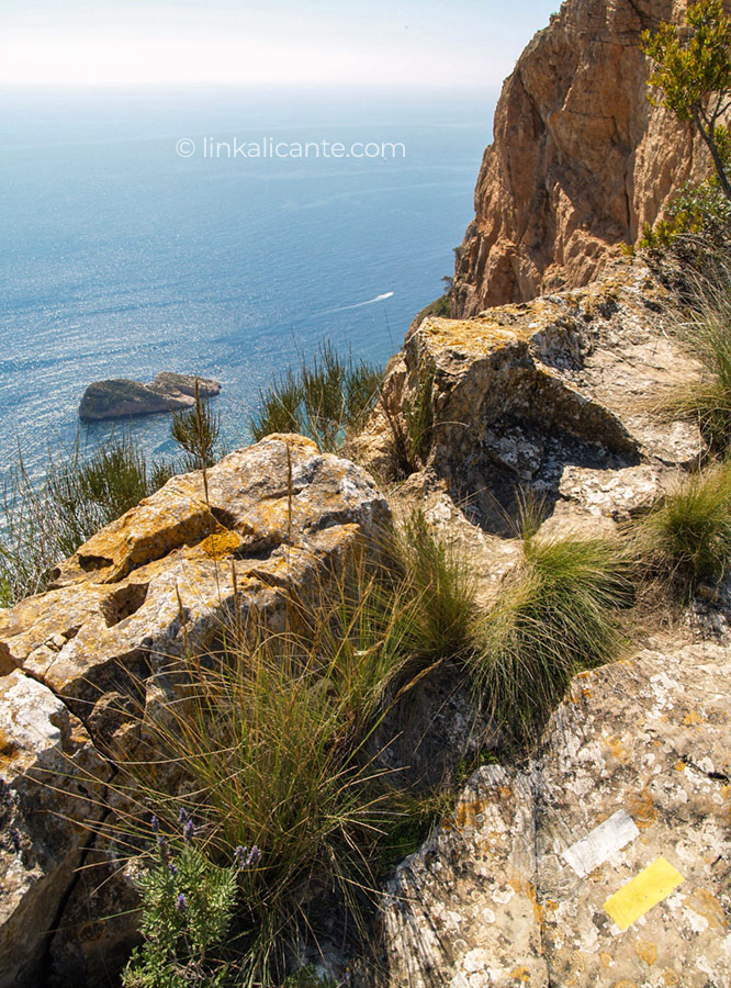
If the views from the antennas are impressive, a little further on they are even more so, if possible. Soon we see the silhouette of the Illa Mitjana (Islote Mediano). About 300 meters below, the waters appear crystal clear. It is the cliffs seen from the sea that give the name to the mountain range. Apparently, on moonlit nights, they give the mountains a magical frozen appearance.
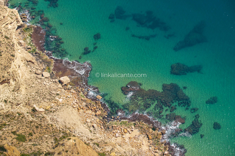
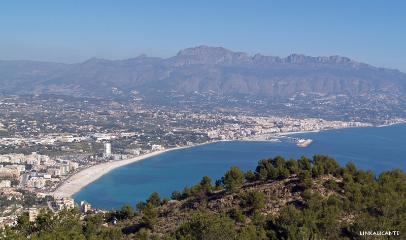
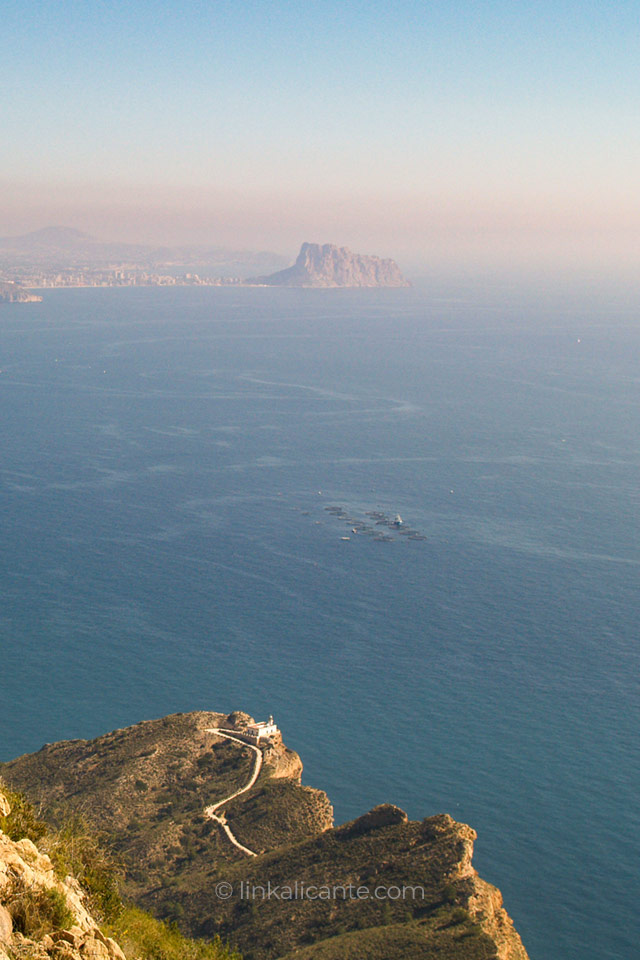
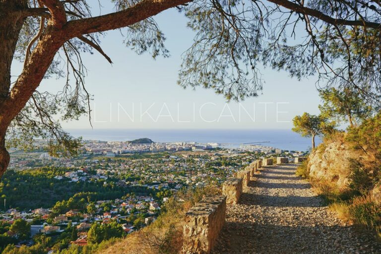
In the following image, we can see part of the final section of the cliffs, with the Islet of Benidorm in the background, revealing its geological continuity. You can also see the Torre de les Caletes , at the southern end of the Serra Gelada.
After several continuous ascents and descents, some quite demanding, we finally reach the Benidorm Cross , which marks the end of our journey along the ridge…
Once in Benidorm, we take the bus ( line 010 ) that takes us back to Playa de l’Albir . An ideal place to relax listening to the whisper of the Mediterranean, with views of the always impressive Serra de Bèrnia …
Links of interest
We can find information about this hiking route in the Serra Gelada in one of these links:
- Description and map on the official website of the Serra Gelada Natural Park
- The cliffs of the Serra Gelada, from the sea
- Route of the Torre de les Caletes in LinkAlicante
- Route of the Lighthouse of l’Albir in LinkAlicante
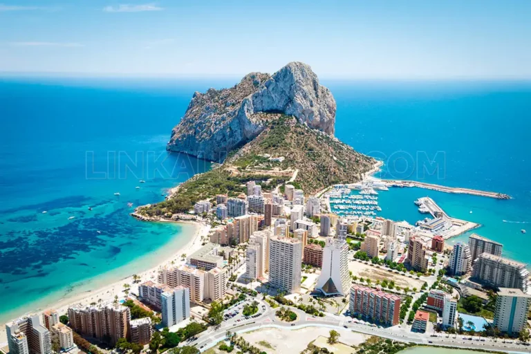
Peñón de Ifach. Route, reservations, activities and more. Calpe / Calp
Complete guide to discover El Peñón de Ifach in Calpe, one of the icons of the Costa Blanca (Alicante). Route, reservation, activities and more.
Puig Campana: Summit & Loop Hike from Finestrat
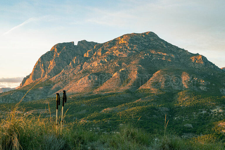
The Puig Campana , The Magical Mountain of Finestrat , is the second highest peak in the province of Alicante. A calcareous mass that rises abruptly up to 1,408 meters high, a few kilometers from the Mediterranean and the tourist
Montgó loop and summit via Camí de la Colonia and La Plana trail
Between the towns of Dènia and Xàbia , El Montgó is one of the most emblematic mountains of the Valencian Community. Despite its “modest” height, 752 meters above sea level, it is a calcareous massif of great environmental, cultural and