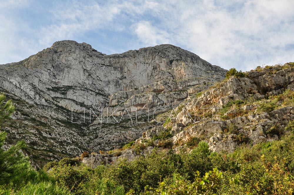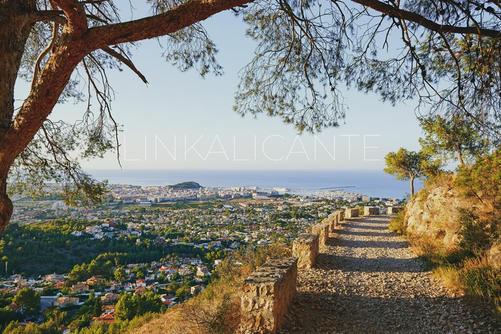
Between the towns of Dènia and Xàbia , El Montgó is one of the most emblematic mountains of the Valencian Community. Despite its “modest” height, 752 meters above sea level, it is a calcareous massif of great environmental, cultural and landscape relevance.
Both the Montgó and its extension towards the sea, the Cap de Sant Antoni , give rise to the natural park of the same name, which also includes the Marine Reserve, declared as such due to the environmental importance of its funds.
The proposed route begins in a simple way on the slope of Dénia , and more specifically in the Camí de la Colonia (a path with beautiful views of the Mediterranean and the city itself) but, from the Cova del Gamell , the route acquires a mountain character and high difficulty , both in the ascent to the summit and in the descent through the Cova de l’Aigua. At this point, it becomes essential to use good mountain shoes.
Do you dare with the challenge of conquering the Montgó summit? Let the adventure begin!
Index of contents
Route Summary
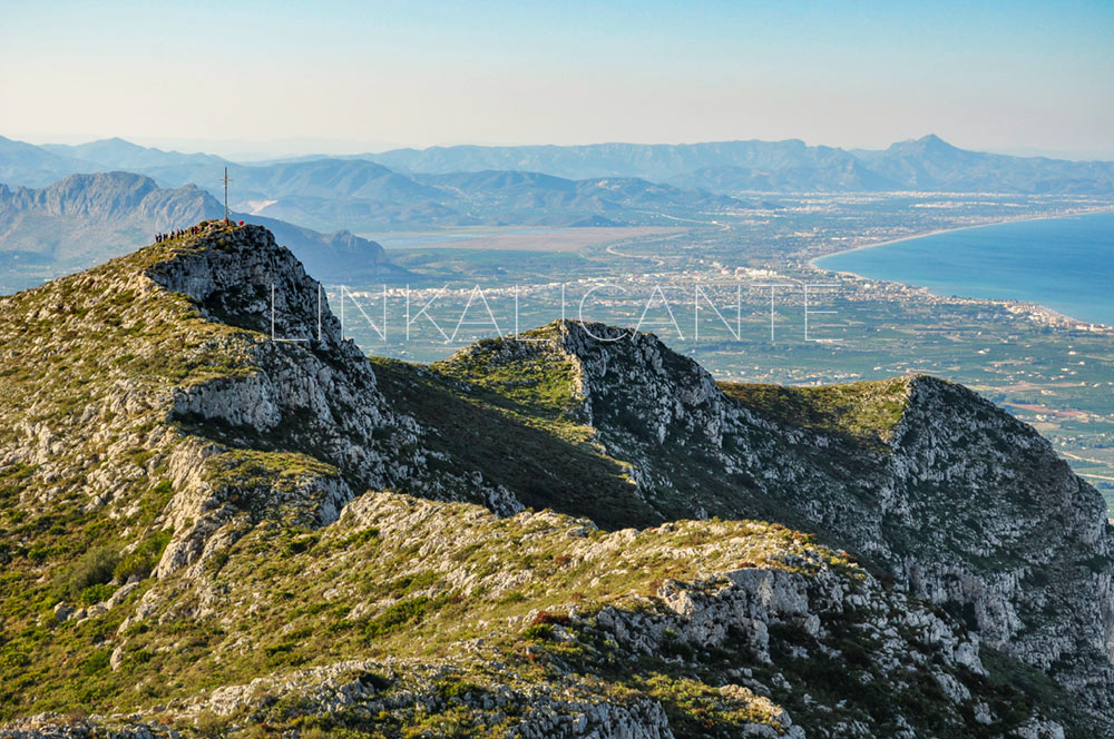
We visit El Montgó Natural Park to climb to the summit of this iconic 752-meter -high mountain. We start the route bordering the mountain along the Camí de la Colonia to later take the path that ascends from La Plana del Cap de Sant Antoni. Here the route becomes mountainous, facing a steep climb, through very rocky and rough terrain, in which at some point we need to help each other with our hands. We return via the Cruz de Dénia and later along the path that leads us to visit the Cova de l’Aigua .
It is a route of high difficulty , not only because of the distance and the unevenness to overcome, but also because of the hardness of the path at many points, due to the fact that we walk on a limestone lapiaz with sharp and very irregular rocks.
Data sheet
- Difficulty: High
- Circle Route
- Distance: 16km
- Slope: +850 meters approx.
- Estimated time: 5 - 7 hours
- Recommended map: Editorial Piolet
Description and Photographs
Towards the Cova del Gamell
We start the tour at the information panel of the Natural Park. Until we reach the Cova del Gamell (also called, erroneously, Cova del Camell ), we have about 5 kilometers of dirt road ahead of us (Camí de la Colonia). There is a gentle climb in the first part, until the fork towards Racó del Bou. From there, the path will be practically flat until you reach the cave.
This dirt road is part of the cycling routes proposed by the Dénia City Council, with several ideal routes for lovers of two wheels.
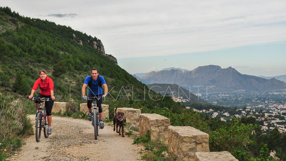
The path winds along the north face of Montgó in an easterly direction, towards Cap de Sant Antoni . In reality, the cape is the extension of Montgó towards the sea, giving rise to a steep coastline featuring imposing cliffs.
In this area of the Montgó, the negative point is found in the urbanizations, which, as in the Serra Gelada , dangerously harass the Natural Park. A little further down, the perfect staggering of terraces on the hillside stands out, a World Heritage Site and a witness to the times of splendor of raisins in the region. Some terraces barely reach a couple of meters in width, silent testimony of the ancient crops in the area.
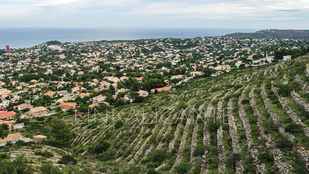
If we talk about biodiversity , the Montgó has a flora made up of more than 650 species, of which about 80 are endemic (they only grow in this place). A diversity superior to that of some European countries in its entirety.
Little by little we are approaching the easternmost end of the mountain. Here and there, we are struck by the capricious shapes of the limestone rocks, a consequence of karstic modeling over millions of years.
Finally, the path ends in a ravine, where we find the Cova del Gamell, also the result of karstic modelling.
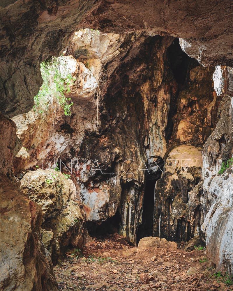
The mountain part of the route begins
From this point, the steep climb to the top of Montgó begins. From the first step, the difficulty of the terrain becomes evident. We will walk on the fractured limestone rock and the reddish clay that accumulates in the hollows. I would say that it is essential to wear mountain shoes if we want to avoid mishaps (frequent in this area due to the poor equipment of hikers).
The views immediately begin to be spectacular, a good preview of what awaits us above…
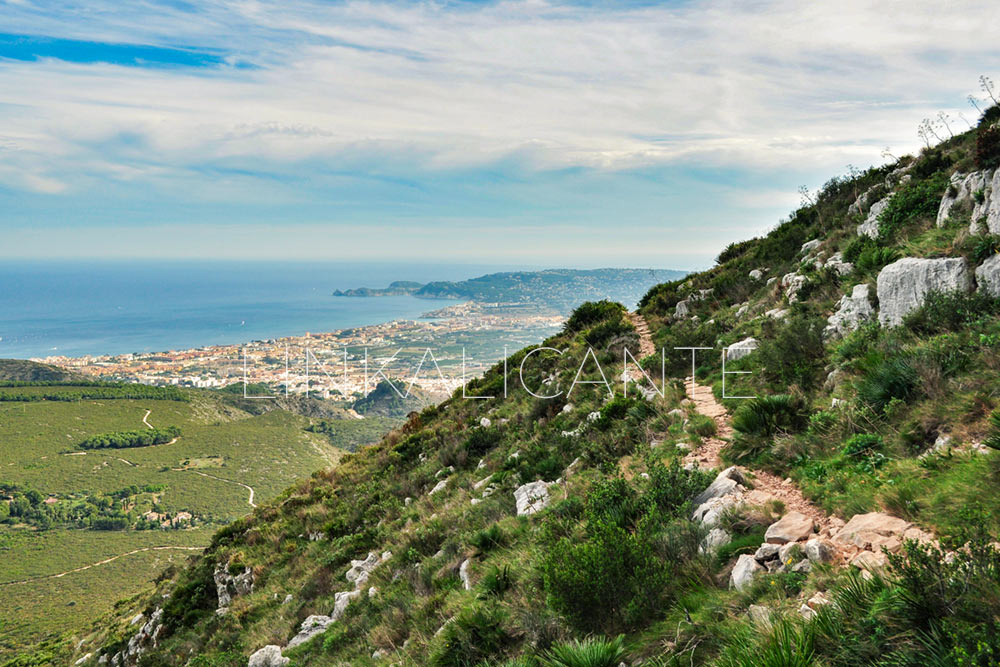
The visibility of the day was not as good as I would have liked, but even so the views towards the Bay of Xàbia (Jávea) were scandalous.
About an hour after starting the ascent from the Cova del Gamell, we reach a natural balcony, perfect to recharge our batteries and face the final assault on the top. From this point, we gain views towards the south-west part, which until then had remained hidden by the mountain itself. The show is difficult to describe with words…
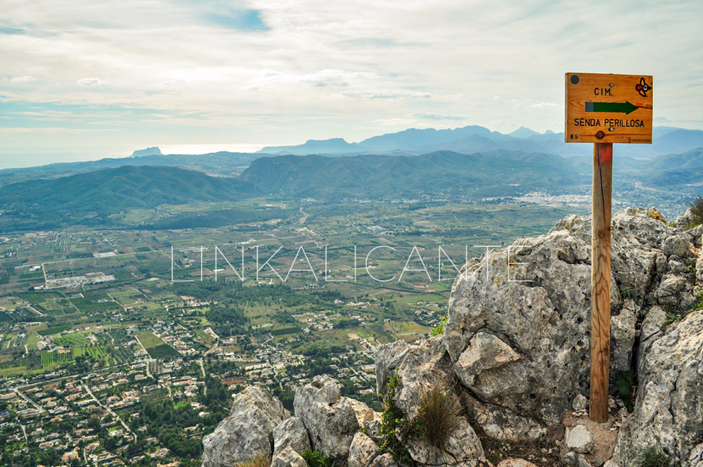
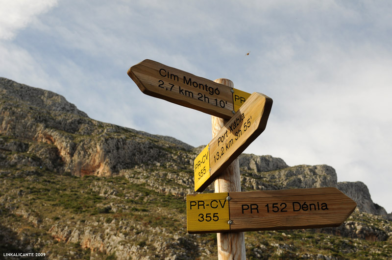
At this point we find a wooden sign that warns us of the section of “Senda Perillosa” (dangerous path) that stands between us and the summit.
From here, we begin a “delicate” climb up a steep ridge. The terrain becomes a bit steeper still, and at some points we have the feeling of being quite exposed. We help each other out if necessary. The spectacular views are sure to make us forget about everything else…
To the south, through the mist, we recognize the silhouette of the Peñón de Ifach (also a natural park), the Morro de Toix and the Sierra de Oltà. We also see the Puig de la Llorença, behind which the cliffs of Poble Nou de Benitatxell hide.
We keep going up. We finally passed the ridge section. We are already very close. A walk along a vertiginous natural cornice will leave us one step away from the top…
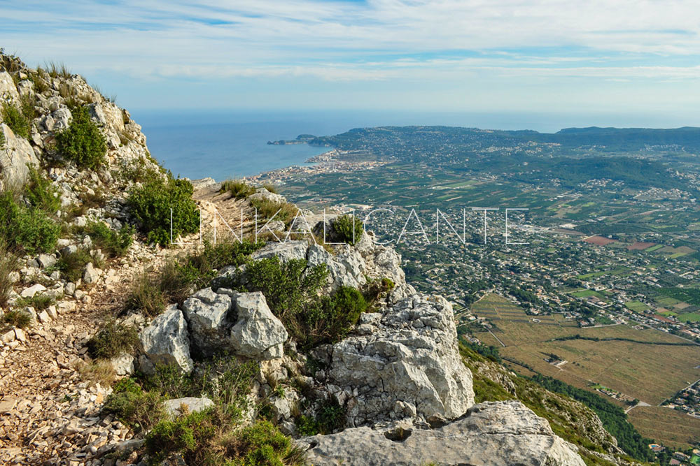
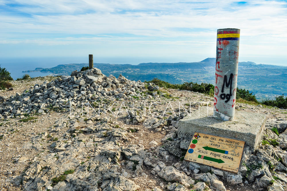
Finally, we reach the summit of Montgó . The small information panel and the geodesic vertices (the “new” and the old) confirm this for us. We are 752 meters above the Mediterranean, just over 3 kilometers in a straight line. The excellent visibility of this point is not surprising. I look towards the Cap de Sant Antoni , towards the east, in search of the profile of Ibiza. But there is too much fog in the sea and I cannot see it. In April of the following year we had more luck, seeing the sunrise from the summit .
To the north, the landscape is equally spectacular. The bay of Gandía can be clearly seen, and then I recognize the silhouette of the Mondúver . The view reaches much further, I would almost dare to say that to the coast of Castellón, but I do not identify the silhouettes, because I have rarely set foot on those lands.
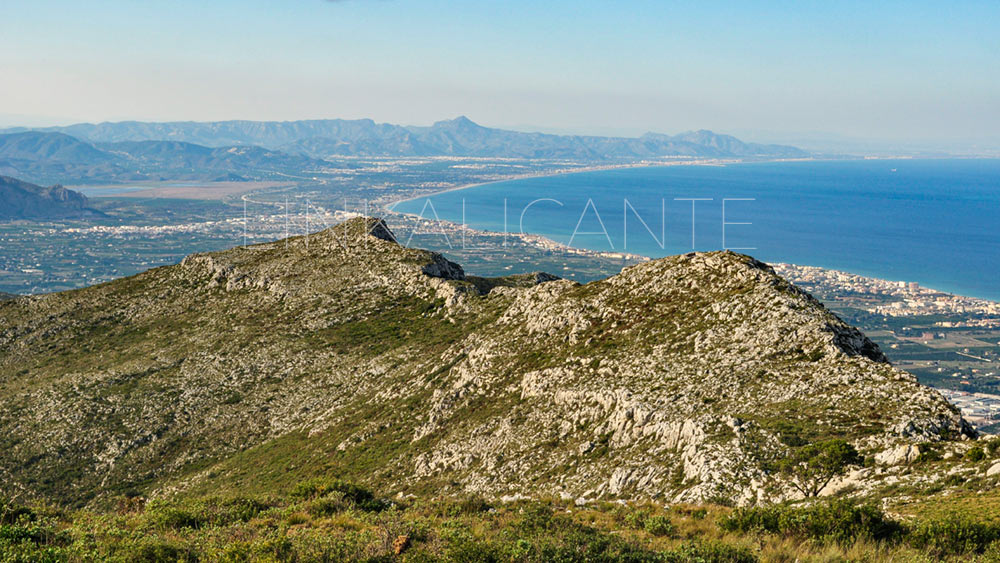
And to finish, a panoramic photo where you can see all that I am commenting on: the coastline from the end of Dénia beach as far as the eye can see. In the foreground, the Montgó crest, crowned by the “Creueta de Dénia”, which we will visit on the way down.
Descent towards the Creu de Dénia
From the summit, we begin the descent to return to the starting point of the route. We pass through the Creu de Dénia , located on the second highest point of the Montgó, at about 710 meters high. The surface continues to be irregular and stony, lapiaz terrain characteristic of this area of Alicante.
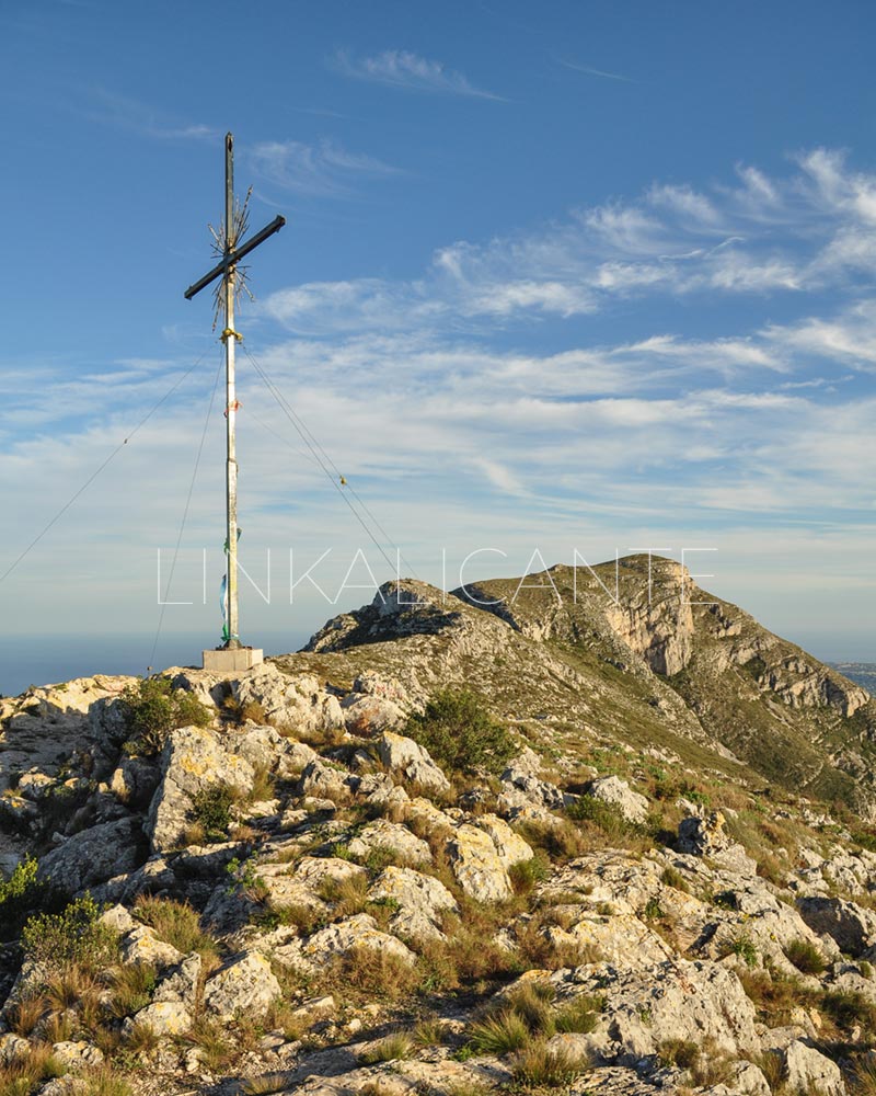
After the cross we have to pay close attention to a couple of detours, which would lead us towards the Barranc de l’Hedra (the first) and the Camí del Coll de Pous (the second), that is, towards the descent to Jesús Pobre , on the opposite side of the mountain where we started.
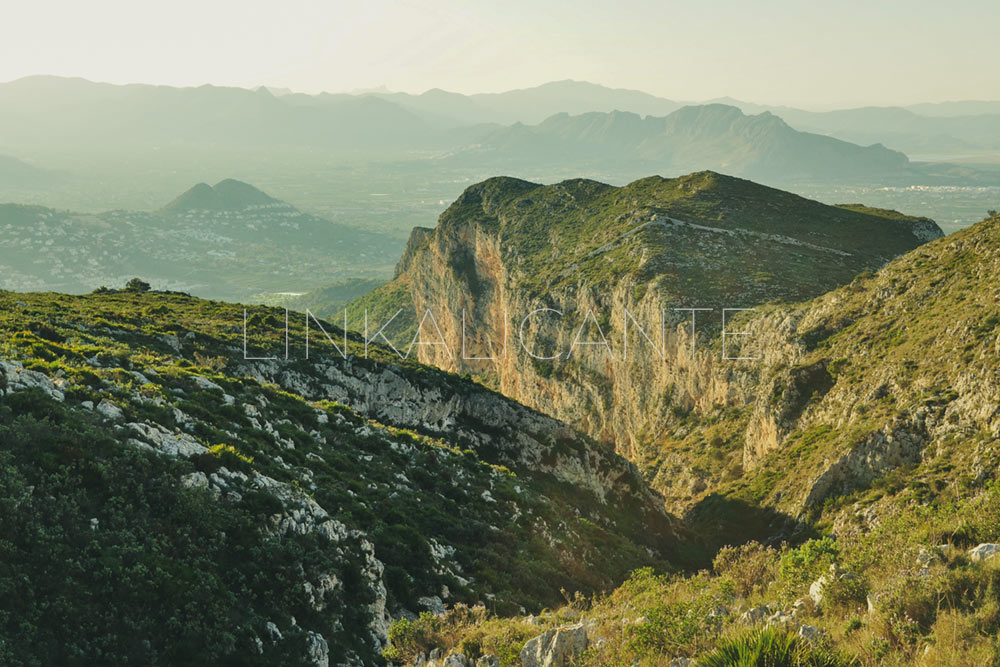
Further on we find a new detour that would lead us to Racó del Bou, this being an alternative descent without going down the Cova de l’Aigua. We continue towards the cave, where by the way there is an inscription dating from Roman times.
We now face a section of descent with a fairly steep slope, it is advisable to exercise extreme caution. We arrive at a new crossroads where we can turn aside to see the Cova de l’Aigua (round trip), or continue the descent. From this intersection, a new section of steep descent leads us to the Camí de la Colonia. It only remains for us to follow this path, already known, to finally reach this spectacular and demanding route on the Montgó.
Track for GPS
Do not miss...
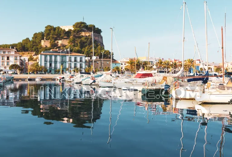
24 Best things to do and see in Dénia
At the foot of the Montgó Natural Park, Dénia is a fascinating city that combines history, culture, nature and gastronomy. Are you coming to discover it?
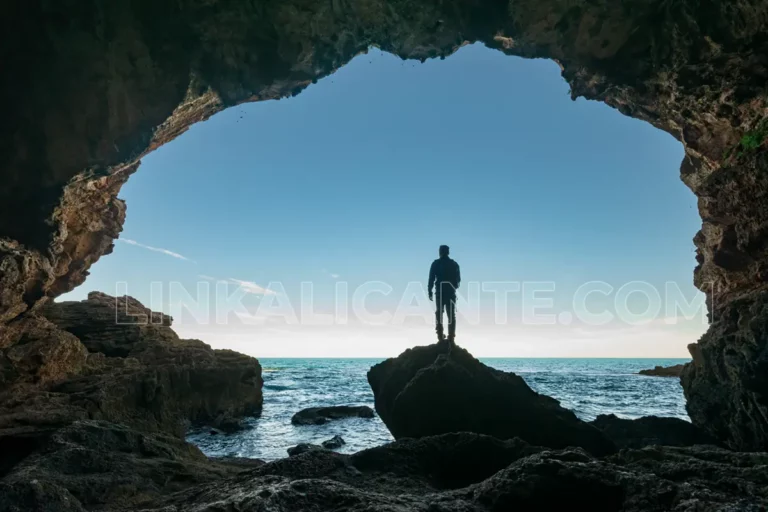
Cova Tallada
Everything you need to know to visit the Cova Tallada from Denia. A fascinating place you have to see in the Comunitat Valenciana.

