The Montgó Natural Park

montgo-marina-alta-jesus-poor
South slope of Montgó from Jesús Pobre

The Montgó limestone massif, located between the coastal towns of Xàbia/Jávea and Dénia, was declared a Natural Park in 1987. The protected area extends to the coast, giving rise to the Marine Natural Reserve of Cap de Sant Antoni, declared as such in 1994, due to the importance of its seabed.

The great proximity of the Montgó to the Mediterranean means that its 752 meters in height form an abrupt elevation, visible from the entire Marina Alta region. The Montgó is one of the best natural viewpoints in Alicante, and it is easy to see the nearby island of Ibiza from its top.

As for its environmental values , the presence of more than 650 species of flora stands out in the Montgó, many of them endemic (they only exist in this area of the planet). We are talking about plants such as Carduncellus dianius , popularly known as “card sant”.

Articles about the Montgó in LinkAlicante

Ascent to the Montgó by the Camí de la Colonia - Dénia

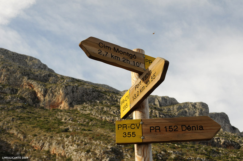
Montgó loop and summit via Camí de la Colonia and La Plana trail

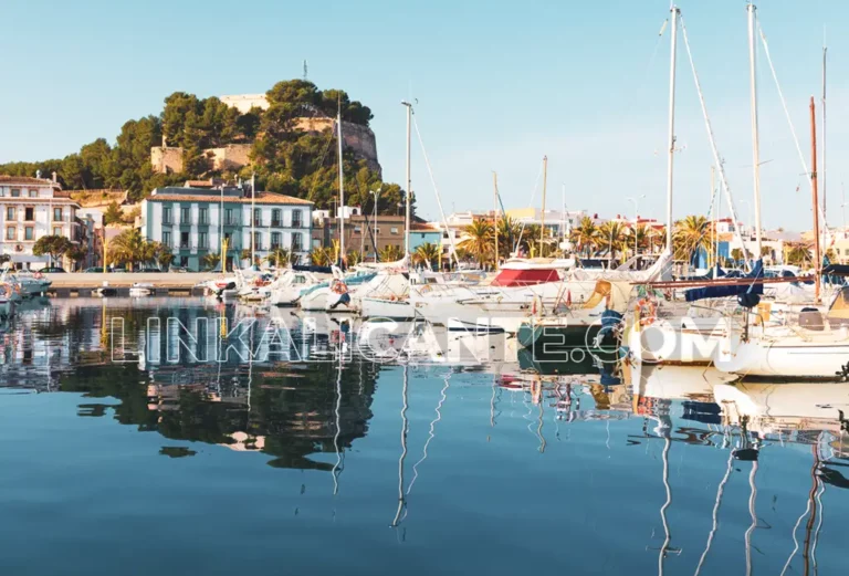
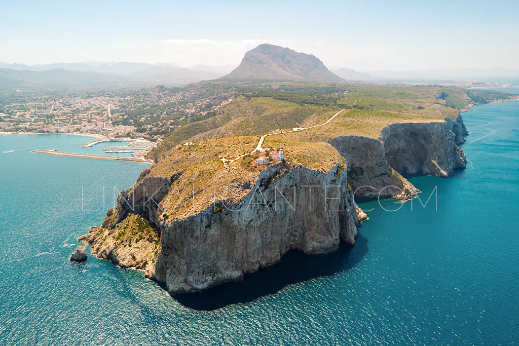
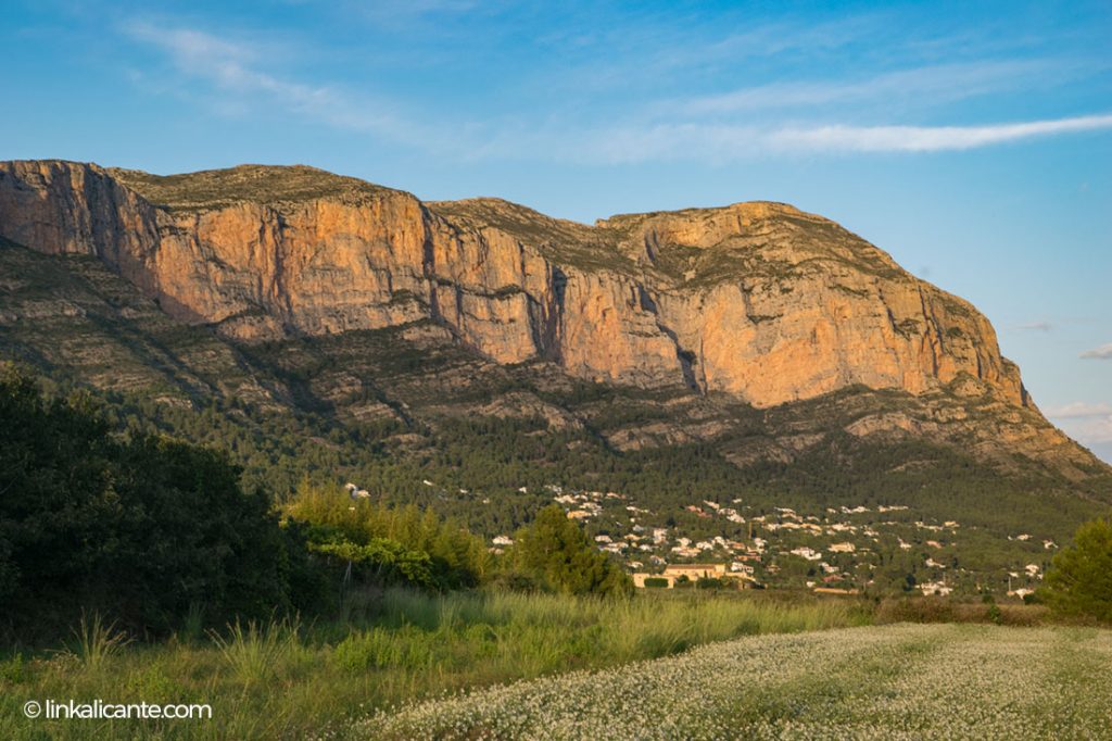
Between the towns of Dènia and Xàbia , El Montgó is one of the most emblematic mountains of the Valencian Community. Despite its “modest” height, 752 meters above sea level, it is a calcareous massif of great environmental, cultural and landscape relevance. Both the Montgó and its extension towards the sea, the Cap de Sant

Read more

Official Routes of El Montgó Natural Park

El Cap de Sant Antoni con el Montgó al fondo, desde el aire

The access point to the Montgó Natural Park from Dénia is near the Ermita del Pare Pere, where there is a small space to park our vehicle. From there we continue on foot. Here are the links to find out how to get there (via google maps):

In LinkAlicante you can consult the article about climbing to the summit of Montgó via the Camí de la Colonia and returning via the Cova de l’Aigua . A route of high difficulty that combines several of the trails of the natural park.

Hiking trails on the Montgó
Indicator panels at the base of Montgó

Like the rest of the natural parks in the Valencian Community, Montgó Natural Park has a series of official routes, among which we find the following:

Route to Racó del Bou

  • Distance: 2.6 kilometers
  • Time: 1 hour
  • Slope: 100 meters
  • Difficulty: easy-medium

Route to the Cova de l’Aigua

  • Distance: 1.6 kilometers
  • Approximate time: 1 hour
  • Elevation: 200 meters approx.
  • Difficulty: medium-easy

Route to the Cova del Gamell

  • Distance: 5 kilometers
  • Approximate time: 2 hours.
  • Slope: 120 meters
  • Difficulty: easy-medium

Route to the top of Montgó

  • Distance: 7 kilometers
  • Approximate time: 3.5 to 4 hours
  • Slope: 650 meters
  • Difficulty: high
  • Remarks: It shares the route with the route to the Cova del Camell, from where the ascent to the top begins.
Good practices
Respect other people and private property.
Respect flora, fauna and environment. Enjoy in Silence.
Always follow the trails. Tackling damages the environment.
Respect the Cultural Heritage (ruins, stone margins, etc).
Do not leave a trace of your passage, nor organic remains.
Find out, Plan and Equip yourself well to enjoy to the fullest.
Thanks!
Scroll to Top