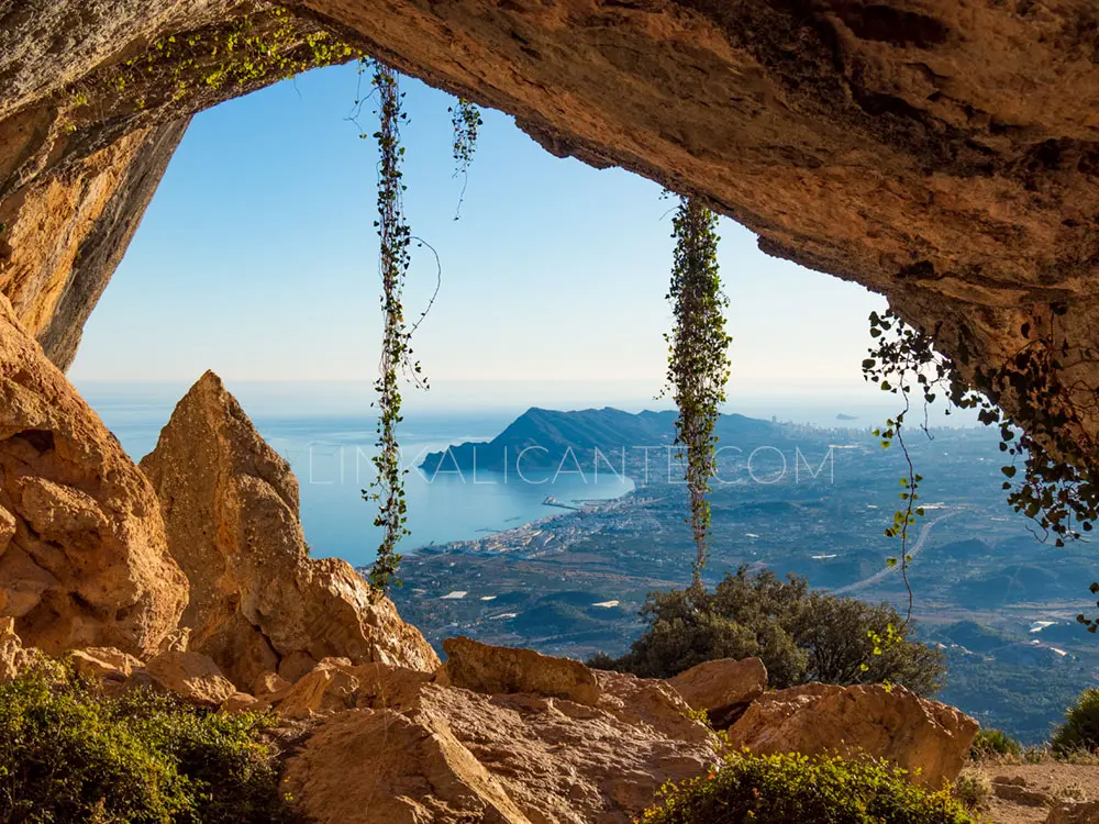
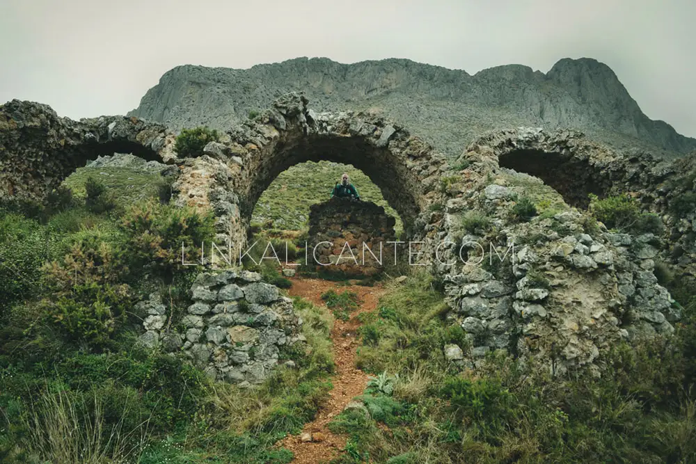
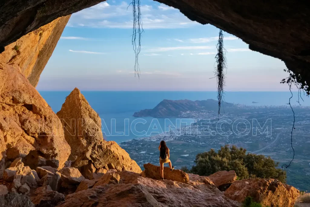
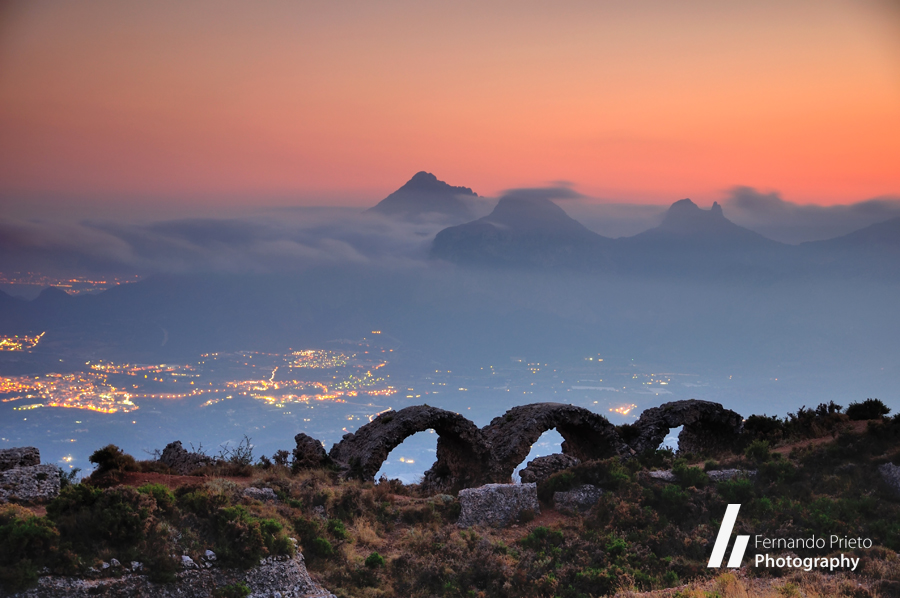
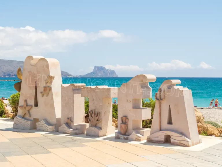
What to see in ALTEA, must-see places and plans
What to see in Altea: beautiful places, beaches, routes, gastronomy and the best plans to enjoy the most beautiful coastal town in Alicante.
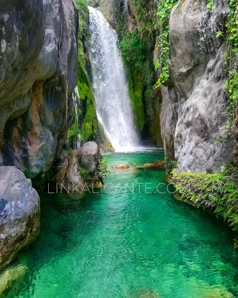
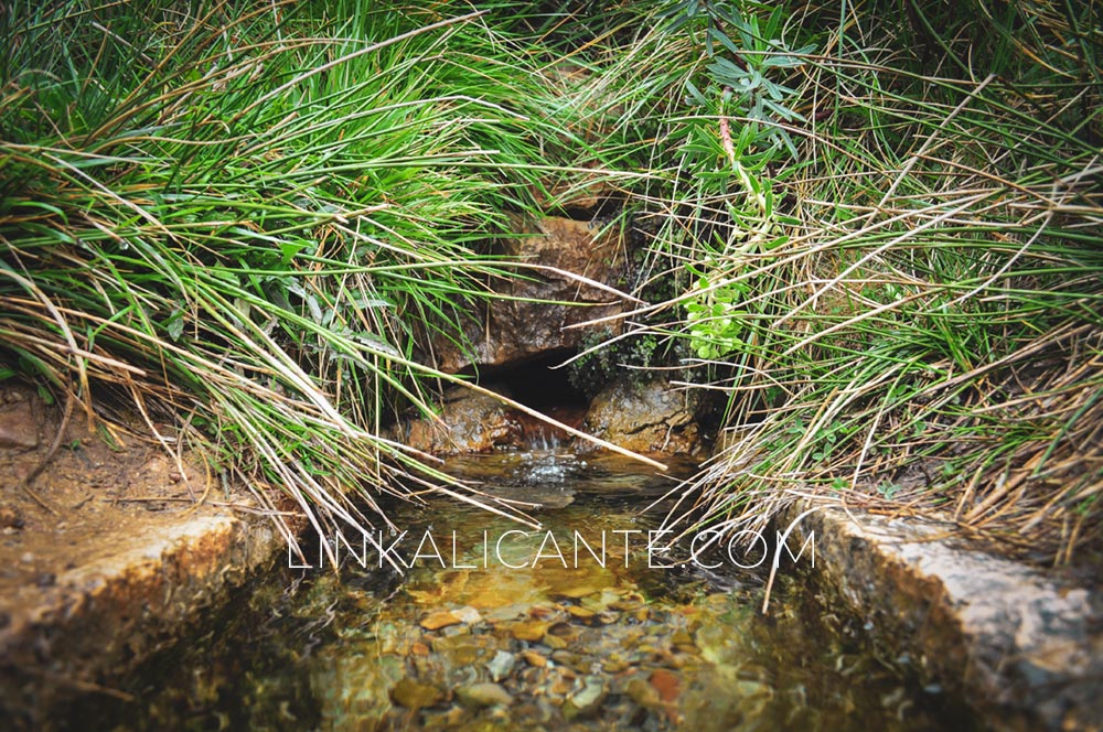
Algar Waterfalls, the natural swimming pools of Callosa d’En Sarrià
Les Fonts d’Algar (Las Fuentes del Algar) is a river spot of great beauty where you can swim in natural pools of crystalline waters.
Pingback: Ausflugsziele – Javea und Umgebung
Pingback: Our Essential Vacation Tips – Casa Herradura