Hike to the highest peak in Alicante, at 1557 m. altitude.
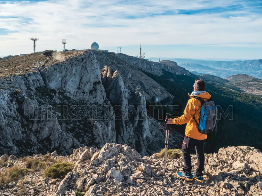
The usual route to the summit of the Sierra de Aitana is from the Font de Partegat de Benifato, ascending to the Font de Forata and from there to the delicate Passet de la Rabosa, next to the huge chasms of Partegat.
In this article you will find everything you need to know to climb to the “roof” of the province of Alicante, a fascinating mountain range for its many contrasts and its high environmental and cultural values. Read on for all the details!
Índice del Artículo
ToggleThe Sierra de Aitana: SCI and SPA
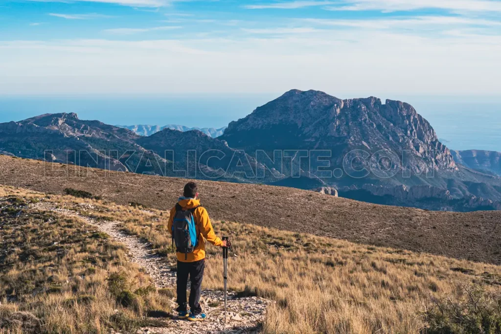
With a height of 1,557 metres, the Sierra de Aitana is the highest elevation in Alicante’s geography. The “Mother Mountain” of the province, as some people call it, is home to different ecosystems of great environmental value, protected by flora micro-reserves, as well as the European SCI (Site of Community Interest) and SPA (Special Protection Area for Birds), within the Natura 2000 Network.
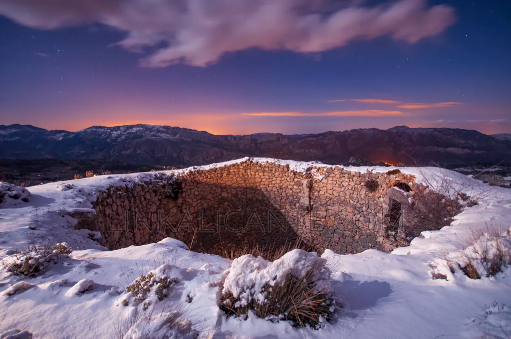
From the point of view of cultural heritage, the old snow wells of Aitana are one of its most outstanding elements, witnesses of the cold trade in past centuries, being the origin of many bridle paths that we use today in our hiking routes.
Climb to Aitana: Route Summary
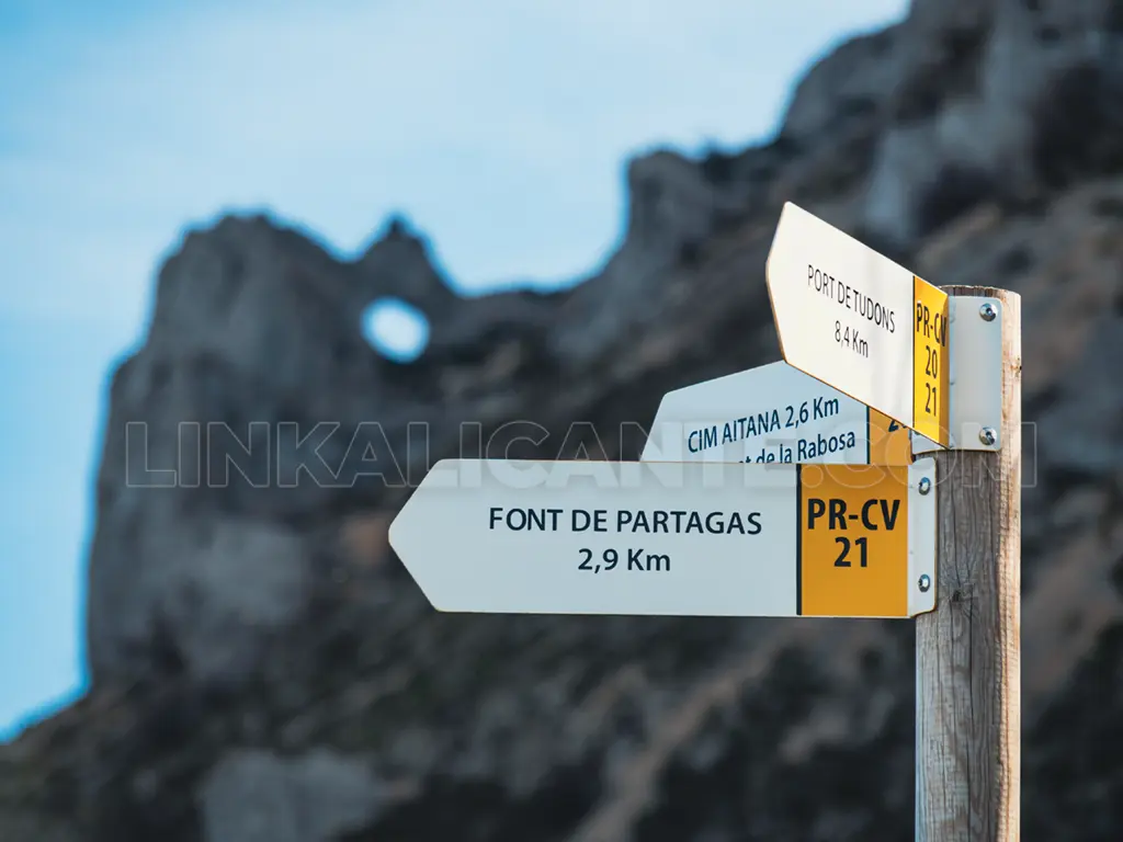
Starting at the recreational area of the Font de Partegat, we ascend along a forest track, between almond tree terraces, until we reach a chaos of blocks where the road becomes a path. A steady but bearable climb, with a final stretch on a track, leaves us on the landing where the Font de Forata sits, the highest in the province of Alicante, at almost 1400 meters above sea level.
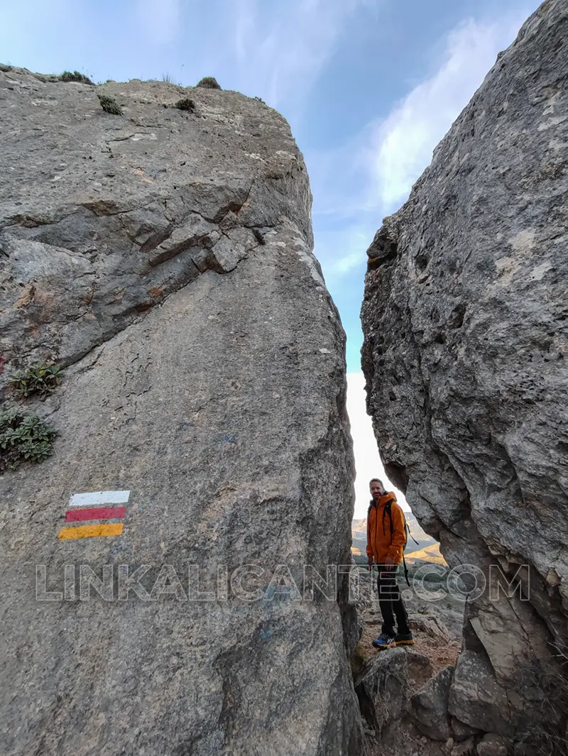
From the spring, we approach the base of the Passet de la Rabosa, a somewhat technical pass that requires overcoming a climb and crossing a crevasse between large boulders. Thus we arrive at the impressive Simas de Partegat, colossal gashes in the mountain that show its slow but relentless plunge into the valley.
From the landing next to the chasms, ideal to regain strength, we take the path that ascends the ridge, overcoming a final steep slope to crown the accessible “roof” of the province of Alicante.
To find the circular route, we return to the chasms and from there we follow the crest of the sierra in an easterly direction, walking through uncomfortable terrain due to the sharp karst formations. Finally we leave the ridge by a steep descent that leaves us in the Port de Tagarina. At this point we link with the forest track that, in constant descent, will take us back to the Font de Partegat.
Data sheet
- Difficulty: Medium (moderate physical effort and climbing)
- Circle Route
- Distance: 10.5km
- Slope: +600 m. approx.
- Estimated time: 4-5 hours
- Signaling: trails PR-CV 21 and PR-CV 20
The Passet de la Rabosa
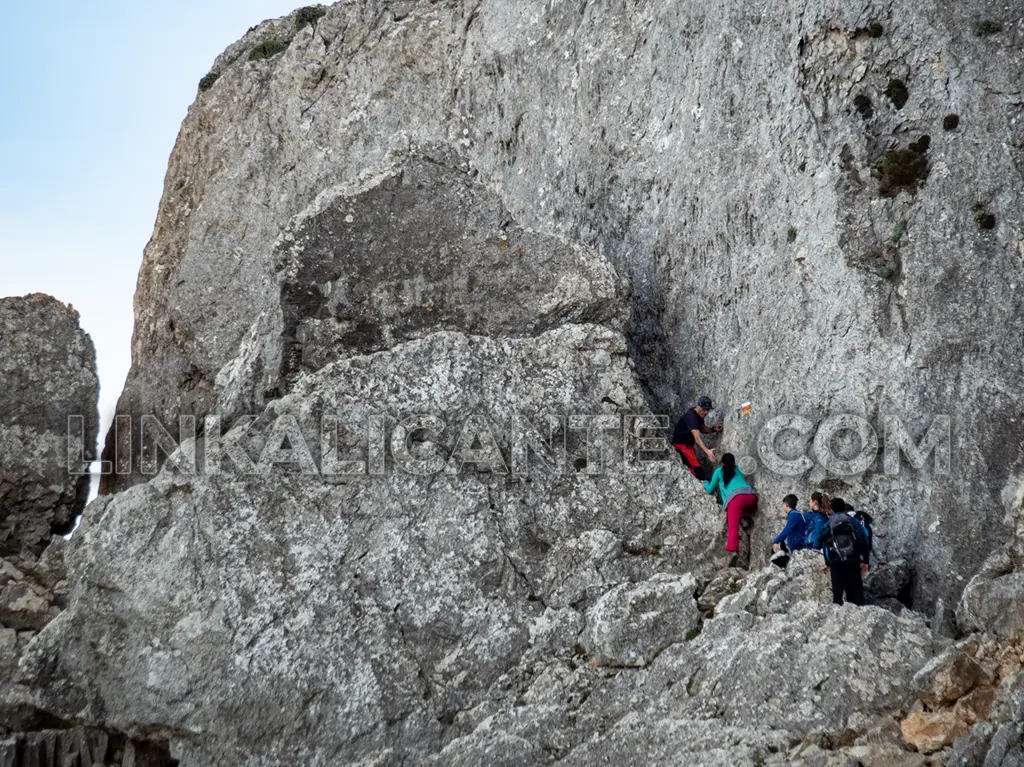
The Passet de la Rabosa – the translation would be pasito de la zorra, although it is better not to translate these toponyms – is a technical pass that requires overcoming an area of rock chaos, a small climb and a narrow passage through a fissure between boulders. It is located between the Font de Forata and the Simas de Partegat, being one of the access routes to the summit of the Sierra de Aitana from the north face (Font de Partegat).
Although the passage is not excessively difficult, I recommend doing it uphill, as it is more accessible. Larger people will find it more difficult to pass through here.
If it has snowed in previous days, it is very common for ice to form on the Passet de la Rabosa, which requires the use of crampons and ice axe to overcome it safely. Therefore I recommend avoiding this step in case of snowfall and if you do not have the necessary material or experience (you can follow the track that I share with you in reverse, up and down the forest track and mountain range).
Flora Microreserve
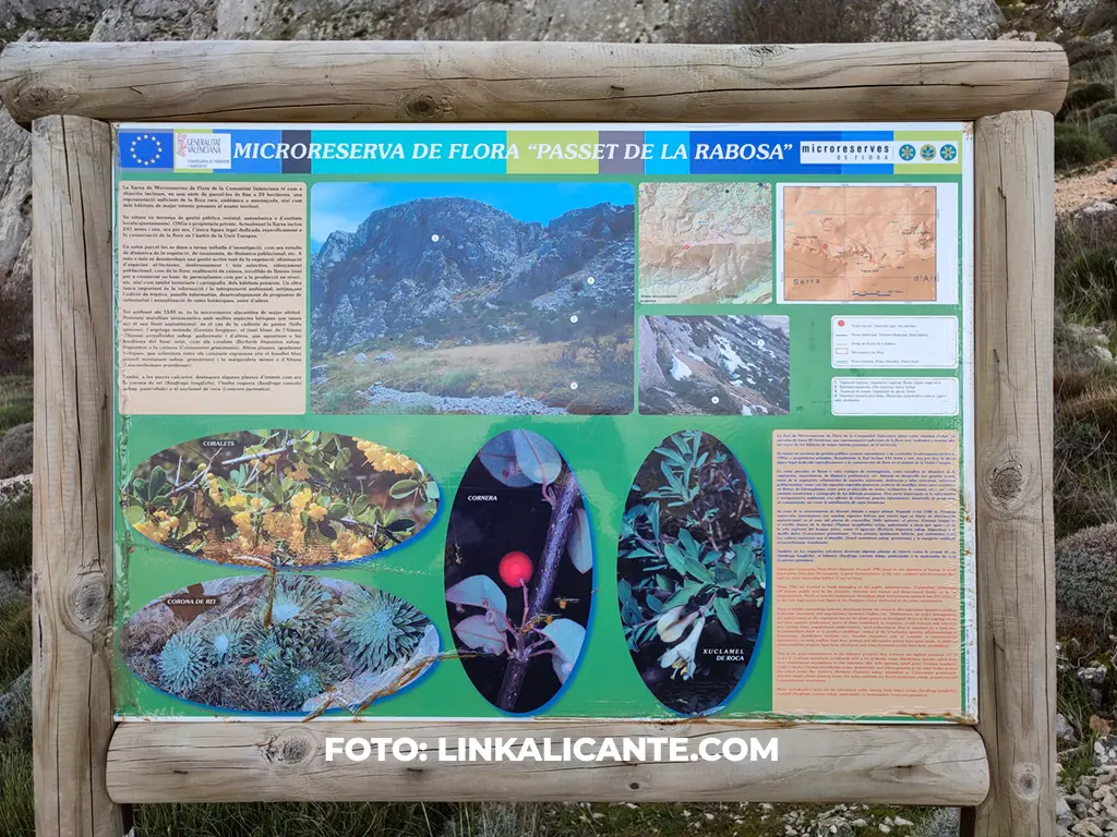
In the vicinity of the Passet de la Rabosa we find the micro-reserve of flora of the same name. It is a protected area at European level with the purpose of cataloging, studying and preserving endemic, threatened or endangered plant species that grow in this unique habitat. Some rock plants – growing on rocks – such as the king’s crown, are testimony to past times when the climate was much colder, allowing the proliferation of these species.
The Summit of Aitana
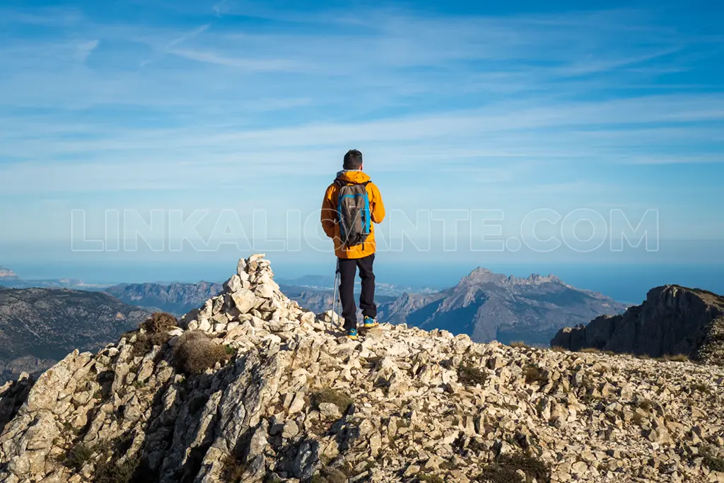
The highest point and geodesic vertex of the Sierra de Aitana (1557 m.) is located within the fenced enclosure of the military installations that crown the mountain, so that on this route we have to settle for an “alternative” summit -barely 10 meters lower-, near the geodesic vertex and with fantastic views of the Guadalest Valley and the surrounding mountain ranges, such as the Serrella or Bèrnia.
On clear days you can easily see the mountains of Murcia to the south and the Penyagolosa de Castellón to the north. To the east, Ibiza overlooks the Puig de la Llorença and in the direction of Montgó you can even see the highest peaks of the Serra de Tramuntana of Mallorca, only on days with optimal conditions (I managed it in April 2016, as I tell you here).
Where to eat in Benifato
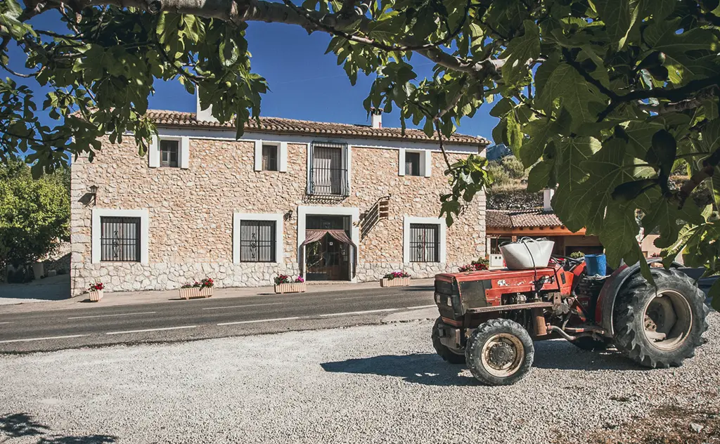
Benifato and the other towns in the Guadalest Valley -Confrides, l’Abdet, Benimantell, Beniardà, Guadalest- boast a delicious mountain gastronomy, with dishes as authentic as Olleta de Blat (centuries ago wheat was grown in the valley).
My personal recommendation is the restaurant La Venta de Benifato, located next to the CV-70 road, very close to the turnoff to enter the village from that road. It is a restaurant with more than 100 years of history where you can taste the typical dishes of the area, as well as buy local products: extra virgin olive oil, honey, sausages, almonds, jams, herbero, wine… The restaurant has ample parking. Don’t forget to book!
Route track for GPS
When does it snow in the Sierra de Aitana?
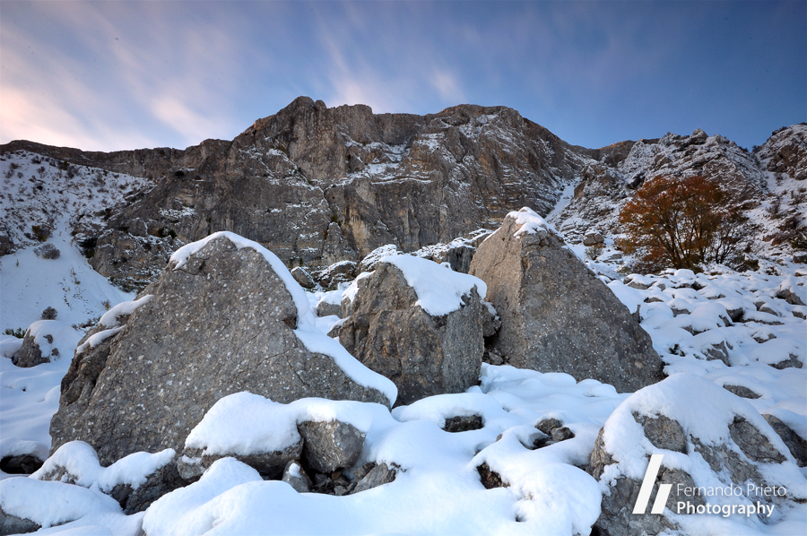
There is only snow in the Sierra de Aitana -with luck-, for a few days a year.
It is usual that the Sierra de Aitana is covered in white every winter, although it is normal that the snow only persists in the highest parts for a few days after the snowfall. Thicknesses can exceed half a meter with relative ease.
In this article you can see the chronicle and photographs of the route I did to the summit of Aitana with snow in March 2011.
How to get to the Font de Partegat
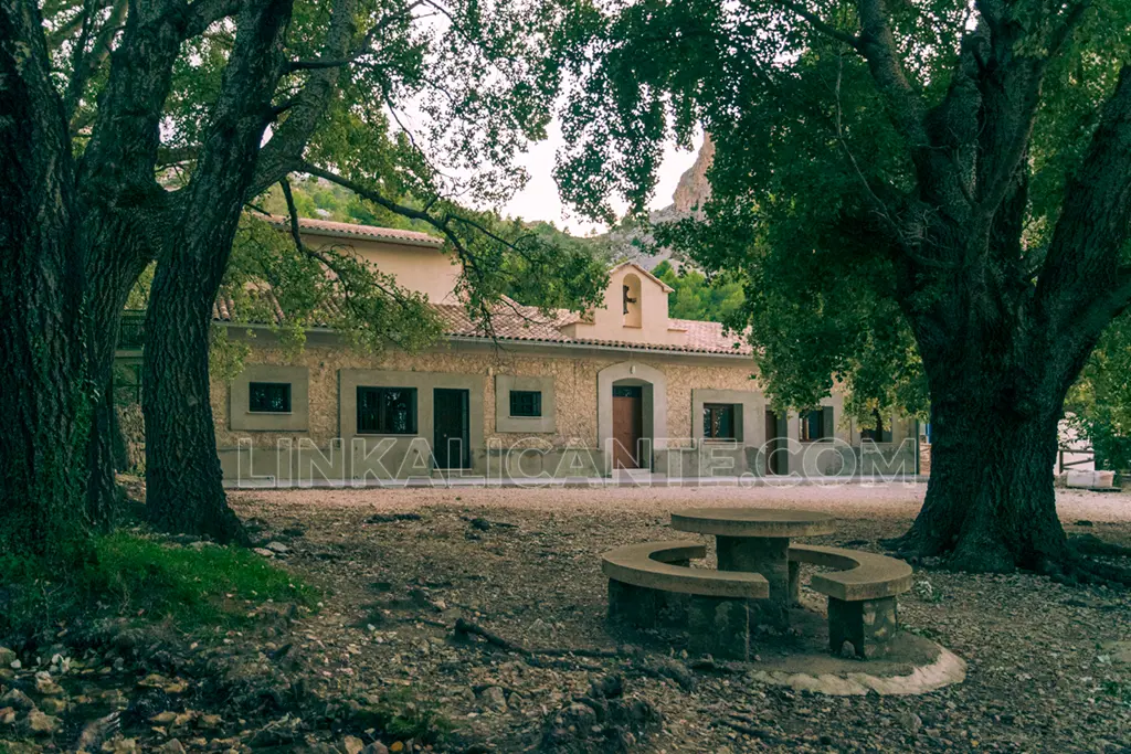
The starting point of this excursion is in Benifato, one of the beautiful villages of the Guadalest Valley, in the interior of the Marina Baixa region.
From Benifato, take the rural road that leads to the Font de Partegat. I recommend driving as few cars as possible up to the fountain, in order to avoid collapsing the place and to save fuel.
In winter there may be ice slabs on the highest part of the trail, near the fountain, especially in the early morning. So use extreme caution (several times they have had to rescue trapped vehicles).
If you are in good shape, I recommend walking up from Benifato (you will have to add an extra 400 meters of elevation gain to the route).
Links of interest
Information about the PR-CV 20 trail on the website of the Federación de Deportes de Montaña y Escalada de la C. Valenciana.
Information about the PR-CV 21 trail on the website of the Diputación de Alicante.
Do not miss...
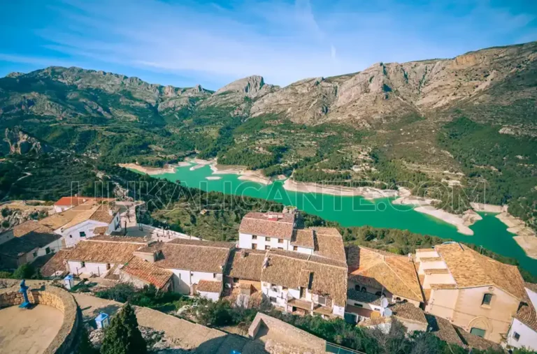
What to see in Guadalest: 10 Places and Plans not to be missed
Discover the best 10 places to see in Guadalest, the beautiful medieval village of Alicante surrounded by mountains and with amazing museums.
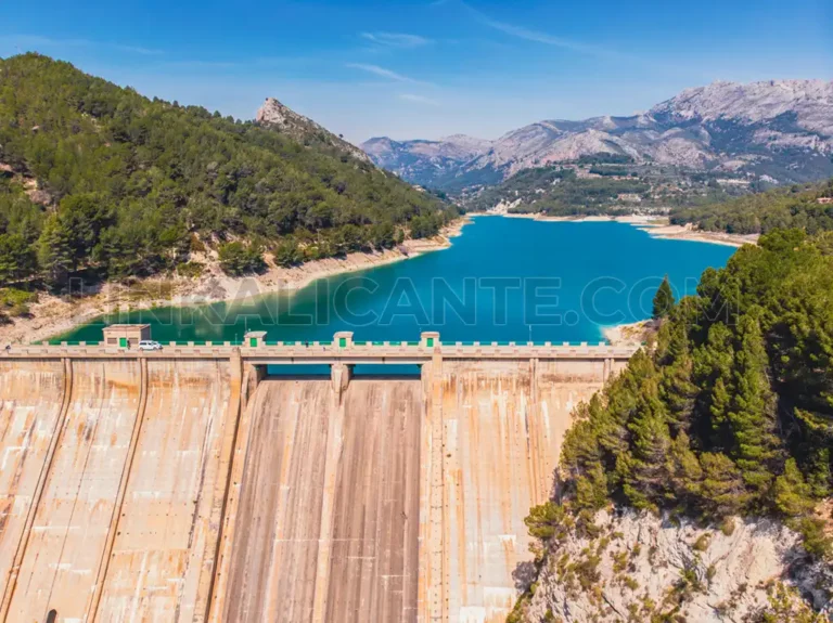
Guadalest Reservoir loop walk, the emerald heart of Alicante
Hiking route for all audiences, ideal to combine with a visit to the villages of the valley and savor its rich cuisine.

